Kingfisher Creek
Map
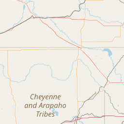
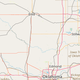
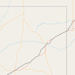
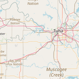
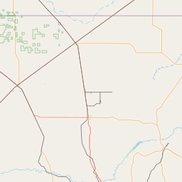
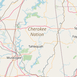
Leaflet | <a href="https://www.openstreetmap.org/copyright">© OpenStreetMap contributors</a>
Item
| Property | Value |
|---|---|
| id | 400433 |
| downstream_mainstem_id | https://geoconnex.us/ref/mainstems/318231 |
| encompassing_mainstem_basins | ['https://geoconnex.us/ref/mainstems/318231', 'https://geoconnex.us/ref/mainstems/314446', 'https://geoconnex.us/ref/mainstems/312091'] |
| featuretype | ['https://www.opengis.net/def/schema/hy_features/hyf/HY_FlowPath', 'https://www.opengis.net/def/schema/hy_features/hyf/HY_WaterBody'] |
| fid | 20565 |
| head_2020huc12 | 110500020702 |
| head_nhdpv1_comid | 252534 |
| head_nhdpv2_comid | https://geoconnex.us/nhdplusv2/comid/252534 |
| head_nhdpv2huc12 | https://geoconnex.us/nhdplusv2/huc12/110500020702 |
| head_rf1id | 34857 |
| lengthkm | 77.0 |
| name_at_outlet | Kingfisher Creek |
| name_at_outlet_gnis_id | 1094392 |
| new_mainstemid | |
| outlet_2020huc12 | 110500020713 |
| outlet_drainagearea_sqkm | 1339.4 |
| outlet_nhdpv1_comid | 255244 |
| outlet_nhdpv2_comid | https://geoconnex.us/nhdplusv2/comid/255244 |
| outlet_nhdpv2huc12 | https://geoconnex.us/nhdplusv2/huc12/110500020713 |
| outlet_rf1id | 34854 |
| superseded | False |
| uri | https://geoconnex.us/ref/mainstems/400433 |