Fourmile Bayou
Map


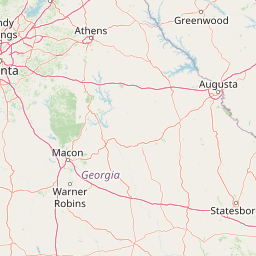
Leaflet | <a href="https://www.openstreetmap.org/copyright">© OpenStreetMap contributors</a>
Item
| Property | Value |
|---|---|
| id | 402708 |
| downstream_mainstem_id | https://geoconnex.us/ref/mainstems/329560 |
| encompassing_mainstem_basins | ['https://geoconnex.us/ref/mainstems/329560', 'https://geoconnex.us/ref/mainstems/312091'] |
| featuretype | ['https://www.opengis.net/def/schema/hy_features/hyf/HY_FlowPath', 'https://www.opengis.net/def/schema/hy_features/hyf/HY_WaterBody'] |
| fid | 13209 |
| head_2020huc12 | 080302020401 |
| head_nhdpv1_comid | 18045272 |
| head_nhdpv2_comid | https://geoconnex.us/nhdplusv2/comid/938030731 |
| head_nhdpv2huc12 | https://geoconnex.us/nhdplusv2/huc12/080302020400 |
| head_rf1id | None |
| lengthkm | 73.1 |
| name_at_outlet | Fourmile Bayou |
| name_at_outlet_gnis_id | 670131 |
| new_mainstemid | |
| outlet_2020huc12 | 080302020405 |
| outlet_drainagearea_sqkm | 367.5 |
| outlet_nhdpv1_comid | 18046488 |
| outlet_nhdpv2_comid | https://geoconnex.us/nhdplusv2/comid/938030739 |
| outlet_nhdpv2huc12 | https://geoconnex.us/nhdplusv2/huc12/080302020400 |
| outlet_rf1id | None |
| superseded | False |
| uri | https://geoconnex.us/ref/mainstems/402708 |