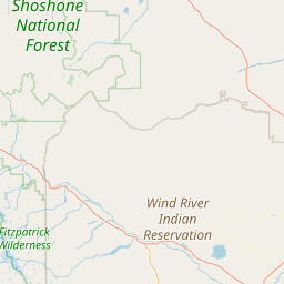
Box Creek
Map
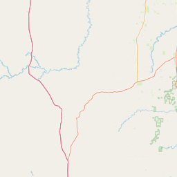
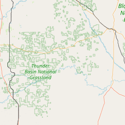
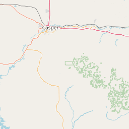
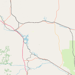
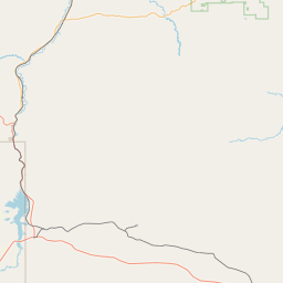
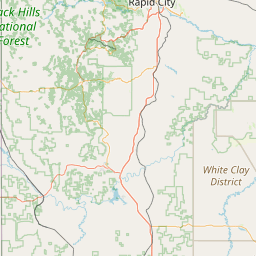
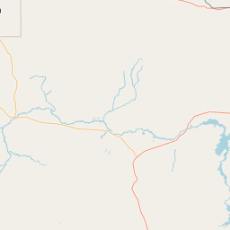
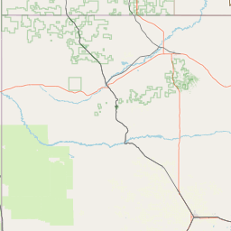
Leaflet | <a href="https://www.openstreetmap.org/copyright">© OpenStreetMap contributors</a>
Item
| Property | Value |
|---|---|
| id | 405391 |
| downstream_mainstem_id | https://geoconnex.us/ref/mainstems/361404 |
| encompassing_mainstem_basins | ['https://geoconnex.us/ref/mainstems/361404', 'https://geoconnex.us/ref/mainstems/351903', 'https://geoconnex.us/ref/mainstems/322818', 'https://geoconnex.us/ref/mainstems/312532', 'https://geoconnex.us/ref/mainstems/312091'] |
| featuretype | ['https://www.opengis.net/def/schema/hy_features/hyf/HY_FlowPath', 'https://www.opengis.net/def/schema/hy_features/hyf/HY_WaterBody'] |
| fid | 16567 |
| head_2020huc12 | 101201050404 |
| head_nhdpv1_comid | 5596230 |
| head_nhdpv2_comid | https://geoconnex.us/nhdplusv2/comid/5596230 |
| head_nhdpv2huc12 | https://geoconnex.us/nhdplusv2/huc12/101201050104 |
| head_rf1id | 26034 |
| lengthkm | 81.8 |
| name_at_outlet | Box Creek |
| name_at_outlet_gnis_id | 1608658 |
| new_mainstemid | |
| outlet_2020huc12 | 101201050406 |
| outlet_drainagearea_sqkm | 411.0 |
| outlet_nhdpv1_comid | 5596014 |
| outlet_nhdpv2_comid | https://geoconnex.us/nhdplusv2/comid/5596014 |
| outlet_nhdpv2huc12 | https://geoconnex.us/nhdplusv2/huc12/101201050107 |
| outlet_rf1id | 26034 |
| superseded | False |
| uri | https://geoconnex.us/ref/mainstems/405391 |