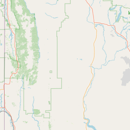
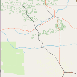
Poison Spider Creek
Map
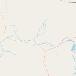
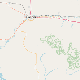
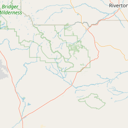
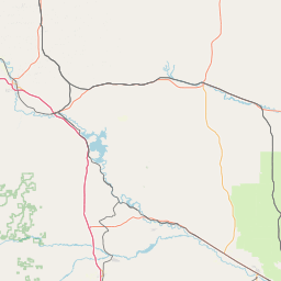
Leaflet | <a href="https://www.openstreetmap.org/copyright">© OpenStreetMap contributors</a>
Item
| Property | Value |
|---|---|
| id | 405915 |
| downstream_mainstem_id | https://geoconnex.us/ref/mainstems/314333 |
| encompassing_mainstem_basins | ['https://geoconnex.us/ref/mainstems/314333', 'https://geoconnex.us/ref/mainstems/313255', 'https://geoconnex.us/ref/mainstems/312532', 'https://geoconnex.us/ref/mainstems/312091'] |
| featuretype | ['https://www.opengis.net/def/schema/hy_features/hyf/HY_FlowPath', 'https://www.opengis.net/def/schema/hy_features/hyf/HY_WaterBody'] |
| fid | 17778 |
| head_2020huc12 | 101800070302 |
| head_nhdpv1_comid | 22103173 |
| head_nhdpv2_comid | https://geoconnex.us/nhdplusv2/comid/22103173 |
| head_nhdpv2huc12 | https://geoconnex.us/nhdplusv2/huc12/101800070401 |
| head_rf1id | 22358 |
| lengthkm | 105.5 |
| name_at_outlet | Poison Spider Creek |
| name_at_outlet_gnis_id | 1592910 |
| new_mainstemid | |
| outlet_2020huc12 | 101800070308 |
| outlet_drainagearea_sqkm | 779.6 |
| outlet_nhdpv1_comid | 22107975 |
| outlet_nhdpv2_comid | https://geoconnex.us/nhdplusv2/comid/22107975 |
| outlet_nhdpv2huc12 | https://geoconnex.us/nhdplusv2/huc12/101800070406 |
| outlet_rf1id | 22356 |
| superseded | False |
| uri | https://geoconnex.us/ref/mainstems/405915 |