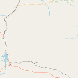
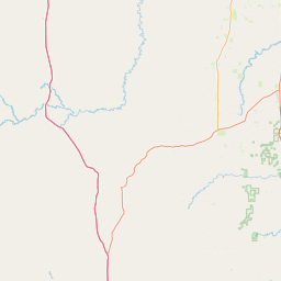
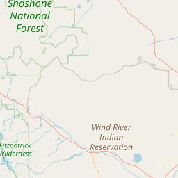
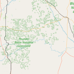
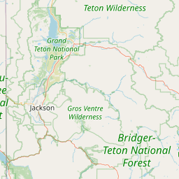
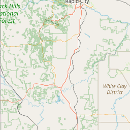
Alkali Creek
Map
Leaflet | <a href="https://www.openstreetmap.org/copyright">© OpenStreetMap contributors</a>
Item
| Property | Value |
|---|---|
| id | 408959 |
| downstream_mainstem_id | https://geoconnex.us/ref/mainstems/378134 |
| encompassing_mainstem_basins | ['https://geoconnex.us/ref/mainstems/378134', 'https://geoconnex.us/ref/mainstems/319070', 'https://geoconnex.us/ref/mainstems/315571', 'https://geoconnex.us/ref/mainstems/312532', 'https://geoconnex.us/ref/mainstems/312091'] |
| featuretype | ['https://www.opengis.net/def/schema/hy_features/hyf/HY_FlowPath', 'https://www.opengis.net/def/schema/hy_features/hyf/HY_WaterBody'] |
| fid | 15682 |
| head_2020huc12 | 100800060101 |
| head_nhdpv1_comid | 12864830 |
| head_nhdpv2_comid | https://geoconnex.us/nhdplusv2/comid/12864830 |
| head_nhdpv2huc12 | https://geoconnex.us/nhdplusv2/huc12/100800060202 |
| head_rf1id | 31995 |
| lengthkm | 74.3 |
| name_at_outlet | Alkali Creek |
| name_at_outlet_gnis_id | 1584762 |
| new_mainstemid | |
| outlet_2020huc12 | 100800060106 |
| outlet_drainagearea_sqkm | 554.2 |
| outlet_nhdpv1_comid | 12865250 |
| outlet_nhdpv2_comid | https://geoconnex.us/nhdplusv2/comid/12865250 |
| outlet_nhdpv2huc12 | https://geoconnex.us/nhdplusv2/huc12/100800060206 |
| outlet_rf1id | 31994 |
| superseded | False |
| uri | https://geoconnex.us/ref/mainstems/408959 |