Jonathan Creek
Map
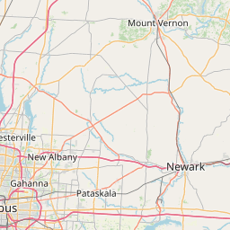
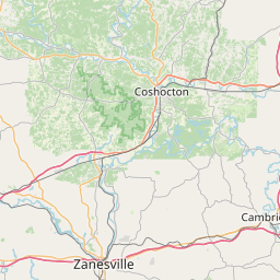
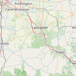
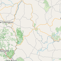
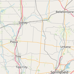
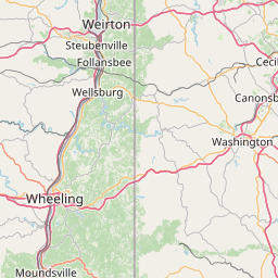
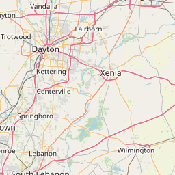
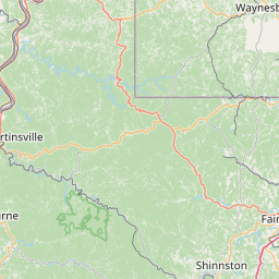
Leaflet | <a href="https://www.openstreetmap.org/copyright">© OpenStreetMap contributors</a>
Item
| Property | Value |
|---|---|
| id | 410151 |
| downstream_mainstem_id | https://geoconnex.us/ref/mainstems/400258 |
| encompassing_mainstem_basins | ['https://geoconnex.us/ref/mainstems/400258', 'https://geoconnex.us/ref/mainstems/333361', 'https://geoconnex.us/ref/mainstems/314849', 'https://geoconnex.us/ref/mainstems/312091'] |
| featuretype | ['https://www.opengis.net/def/schema/hy_features/hyf/HY_FlowPath', 'https://www.opengis.net/def/schema/hy_features/hyf/HY_WaterBody'] |
| fid | 8086 |
| head_2020huc12 | 050400040402 |
| head_nhdpv1_comid | 15384295 |
| head_nhdpv2_comid | https://geoconnex.us/nhdplusv2/comid/15384295 |
| head_nhdpv2huc12 | https://geoconnex.us/nhdplusv2/huc12/050400040402 |
| head_rf1id | 12782 |
| lengthkm | 51.4 |
| name_at_outlet | Jonathan Creek |
| name_at_outlet_gnis_id | 1070795 |
| new_mainstemid | |
| outlet_2020huc12 | 050400040407 |
| outlet_drainagearea_sqkm | 502.2 |
| outlet_nhdpv1_comid | 15384293 |
| outlet_nhdpv2_comid | https://geoconnex.us/nhdplusv2/comid/15384293 |
| outlet_nhdpv2huc12 | https://geoconnex.us/nhdplusv2/huc12/050400040407 |
| outlet_rf1id | 12776 |
| superseded | False |
| uri | https://geoconnex.us/ref/mainstems/410151 |