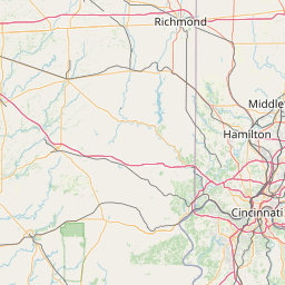
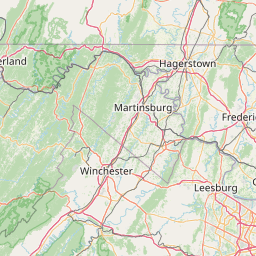
Shade River
Map
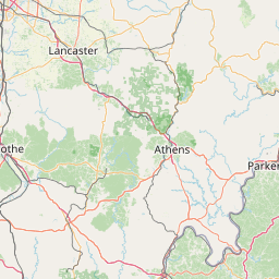
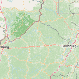
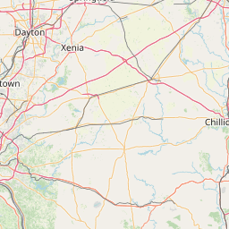
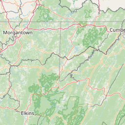
Leaflet | <a href="https://www.openstreetmap.org/copyright">© OpenStreetMap contributors</a>
Item
| Property | Value |
|---|---|
| id | 410171 |
| downstream_mainstem_id | https://geoconnex.us/ref/mainstems/314849 |
| encompassing_mainstem_basins | ['https://geoconnex.us/ref/mainstems/314849', 'https://geoconnex.us/ref/mainstems/312091'] |
| featuretype | ['https://www.opengis.net/def/schema/hy_features/hyf/HY_FlowPath', 'https://www.opengis.net/def/schema/hy_features/hyf/HY_WaterBody'] |
| fid | 7943 |
| head_2020huc12 | 050302020201 |
| head_nhdpv1_comid | 19440701 |
| head_nhdpv2_comid | https://geoconnex.us/nhdplusv2/comid/19440701 |
| head_nhdpv2huc12 | https://geoconnex.us/nhdplusv2/huc12/050302020201 |
| head_rf1id | 12546 |
| lengthkm | 65.4 |
| name_at_outlet | Shade River |
| name_at_outlet_gnis_id | 1066950 |
| new_mainstemid | |
| outlet_2020huc12 | 050302020304 |
| outlet_drainagearea_sqkm | 573.0 |
| outlet_nhdpv1_comid | 19440473 |
| outlet_nhdpv2_comid | https://geoconnex.us/nhdplusv2/comid/19440473 |
| outlet_nhdpv2huc12 | https://geoconnex.us/nhdplusv2/huc12/050302020304 |
| outlet_rf1id | 12542 |
| superseded | False |
| uri | https://geoconnex.us/ref/mainstems/410171 |