South Sylamore Creek
Map
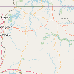
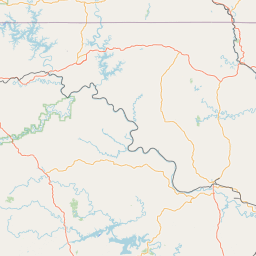
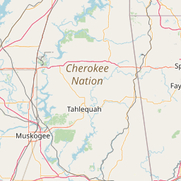
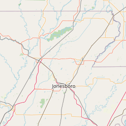
Leaflet | <a href="https://www.openstreetmap.org/copyright">© OpenStreetMap contributors</a>
Item
| Property | Value |
|---|---|
| id | 410477 |
| downstream_mainstem_id | https://geoconnex.us/ref/mainstems/406890 |
| encompassing_mainstem_basins | ['https://geoconnex.us/ref/mainstems/406890', 'https://geoconnex.us/ref/mainstems/320872', 'https://geoconnex.us/ref/mainstems/312091'] |
| featuretype | ['https://www.opengis.net/def/schema/hy_features/hyf/HY_FlowPath', 'https://www.opengis.net/def/schema/hy_features/hyf/HY_WaterBody'] |
| fid | 19830 |
| head_2020huc12 | |
| head_nhdpv1_comid | 11834706 |
| head_nhdpv2_comid | https://geoconnex.us/nhdplusv2/comid/11834706 |
| head_nhdpv2huc12 | |
| head_rf1id | 34018 |
| lengthkm | 43.5 |
| name_at_outlet | South Sylamore Creek |
| name_at_outlet_gnis_id | 73655 |
| new_mainstemid | |
| outlet_2020huc12 | |
| outlet_drainagearea_sqkm | 369.0 |
| outlet_nhdpv1_comid | 11834464 |
| outlet_nhdpv2_comid | https://geoconnex.us/nhdplusv2/comid/11834464 |
| outlet_nhdpv2huc12 | |
| outlet_rf1id | 34018 |
| superseded | False |
| uri | https://geoconnex.us/ref/mainstems/410477 |