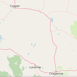
Plum Creek
Map


Leaflet | <a href="https://www.openstreetmap.org/copyright">© OpenStreetMap contributors</a>
Item
| Property | Value |
|---|---|
| id | 410554 |
| downstream_mainstem_id | https://geoconnex.us/ref/mainstems/316001 |
| encompassing_mainstem_basins | ['https://geoconnex.us/ref/mainstems/316001', 'https://geoconnex.us/ref/mainstems/312532', 'https://geoconnex.us/ref/mainstems/312091'] |
| featuretype | ['https://www.opengis.net/def/schema/hy_features/hyf/HY_FlowPath', 'https://www.opengis.net/def/schema/hy_features/hyf/HY_WaterBody'] |
| fid | 17363 |
| head_2020huc12 | |
| head_nhdpv1_comid | 16031948 |
| head_nhdpv2_comid | https://geoconnex.us/nhdplusv2/comid/16031948 |
| head_nhdpv2huc12 | |
| head_rf1id | 27406 |
| lengthkm | 117.0 |
| name_at_outlet | Plum Creek |
| name_at_outlet_gnis_id | 832278 |
| new_mainstemid | |
| outlet_2020huc12 | |
| outlet_drainagearea_sqkm | 1345.2 |
| outlet_nhdpv1_comid | 16036294 |
| outlet_nhdpv2_comid | https://geoconnex.us/nhdplusv2/comid/16036294 |
| outlet_nhdpv2huc12 | |
| outlet_rf1id | 27401 |
| superseded | False |
| uri | https://geoconnex.us/ref/mainstems/410554 |