South Channel Platte River
Map
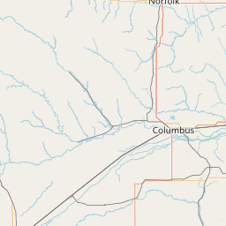
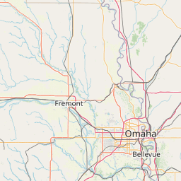

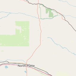
Leaflet | <a href="https://www.openstreetmap.org/copyright">© OpenStreetMap contributors</a>
Item
| Property | Value |
|---|---|
| id | 411211 |
| downstream_mainstem_id | https://geoconnex.us/ref/mainstems/384815 |
| encompassing_mainstem_basins | ['https://geoconnex.us/ref/mainstems/384815', 'https://geoconnex.us/ref/mainstems/313255', 'https://geoconnex.us/ref/mainstems/312532', 'https://geoconnex.us/ref/mainstems/312091'] |
| featuretype | ['https://www.opengis.net/def/schema/hy_features/hyf/HY_FlowPath', 'https://www.opengis.net/def/schema/hy_features/hyf/HY_WaterBody'] |
| fid | 18172 |
| head_2020huc12 | 102001030504 |
| head_nhdpv1_comid | 7299226 |
| head_nhdpv2_comid | https://geoconnex.us/nhdplusv2/comid/7299226 |
| head_nhdpv2huc12 | https://geoconnex.us/nhdplusv2/huc12/102001030504 |
| head_rf1id | 23143 |
| lengthkm | 35.0 |
| name_at_outlet | South Channel Platte River |
| name_at_outlet_gnis_id | 833566 |
| new_mainstemid | |
| outlet_2020huc12 | 102001030504 |
| outlet_drainagearea_sqkm | 51.2 |
| outlet_nhdpv1_comid | 7298558 |
| outlet_nhdpv2_comid | https://geoconnex.us/nhdplusv2/comid/7298558 |
| outlet_nhdpv2huc12 | https://geoconnex.us/nhdplusv2/huc12/102001030504 |
| outlet_rf1id | 23143 |
| superseded | False |
| uri | https://geoconnex.us/ref/mainstems/411211 |