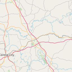
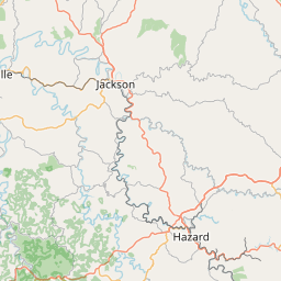
Big South Fork
Map
Leaflet | <a href="https://www.openstreetmap.org/copyright">© OpenStreetMap contributors</a>
Item
| Property | Value |
|---|---|
| id | 411866 |
| downstream_mainstem_id | https://geoconnex.us/ref/mainstems/348239 |
| encompassing_mainstem_basins | ['https://geoconnex.us/ref/mainstems/348239', 'https://geoconnex.us/ref/mainstems/345877', 'https://geoconnex.us/ref/mainstems/314849', 'https://geoconnex.us/ref/mainstems/312091'] |
| featuretype | ['https://www.opengis.net/def/schema/hy_features/hyf/HY_FlowPath', 'https://www.opengis.net/def/schema/hy_features/hyf/HY_WaterBody'] |
| fid | 9698 |
| head_2020huc12 | 051401030401 |
| head_nhdpv1_comid | 10303089 |
| head_nhdpv2_comid | https://geoconnex.us/nhdplusv2/comid/10303089 |
| head_nhdpv2huc12 | https://geoconnex.us/nhdplusv2/huc12/051401030401 |
| head_rf1id | 15593 |
| lengthkm | 35.0 |
| name_at_outlet | Big South Fork |
| name_at_outlet_gnis_id | 487258 |
| new_mainstemid | |
| outlet_2020huc12 | 051401030402 |
| outlet_drainagearea_sqkm | 168.3 |
| outlet_nhdpv1_comid | 10303279 |
| outlet_nhdpv2_comid | https://geoconnex.us/nhdplusv2/comid/10303279 |
| outlet_nhdpv2huc12 | https://geoconnex.us/nhdplusv2/huc12/051401030402 |
| outlet_rf1id | 15593 |
| superseded | False |
| uri | https://geoconnex.us/ref/mainstems/411866 |