Rush Creek
Map


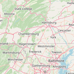
Leaflet | <a href="https://www.openstreetmap.org/copyright">© OpenStreetMap contributors</a>
Item
| Property | Value |
|---|---|
| id | 416124 |
| downstream_mainstem_id | https://geoconnex.us/ref/mainstems/334379 |
| encompassing_mainstem_basins | ['https://geoconnex.us/ref/mainstems/334379', 'https://geoconnex.us/ref/mainstems/314849', 'https://geoconnex.us/ref/mainstems/312091'] |
| featuretype | ['https://www.opengis.net/def/schema/hy_features/hyf/HY_FlowPath', 'https://www.opengis.net/def/schema/hy_features/hyf/HY_WaterBody'] |
| fid | 8312 |
| head_2020huc12 | 050600010201 |
| head_nhdpv1_comid | 5214171 |
| head_nhdpv2_comid | https://geoconnex.us/nhdplusv2/comid/5214171 |
| head_nhdpv2huc12 | https://geoconnex.us/nhdplusv2/huc12/050600010201 |
| head_rf1id | 13319 |
| lengthkm | 67.7 |
| name_at_outlet | Rush Creek |
| name_at_outlet_gnis_id | 1045268 |
| new_mainstemid | |
| outlet_2020huc12 | 050600010203 |
| outlet_drainagearea_sqkm | 272.7 |
| outlet_nhdpv1_comid | 5211775 |
| outlet_nhdpv2_comid | https://geoconnex.us/nhdplusv2/comid/5211775 |
| outlet_nhdpv2huc12 | https://geoconnex.us/nhdplusv2/huc12/050600010203 |
| outlet_rf1id | 13319 |
| superseded | False |
| uri | https://geoconnex.us/ref/mainstems/416124 |