North Fork of Middle Fork American River
Map
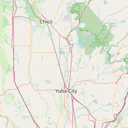
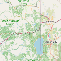
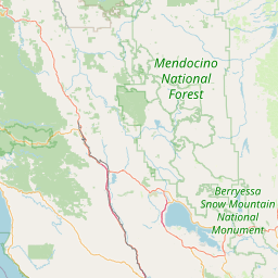
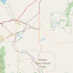
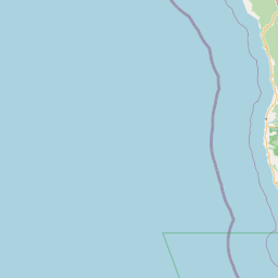
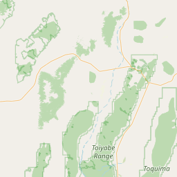
Leaflet | <a href="https://www.openstreetmap.org/copyright">© OpenStreetMap contributors</a>
Item
| Property | Value |
|---|---|
| id | 4179 |
| downstream_mainstem_id | https://geoconnex.us/ref/mainstems/1235 |
| encompassing_mainstem_basins | ['https://geoconnex.us/ref/mainstems/1235', 'https://geoconnex.us/ref/mainstems/602', 'https://geoconnex.us/ref/mainstems/1'] |
| featuretype | ['https://www.opengis.net/def/schema/hy_features/hyf/HY_FlowPath', 'https://www.opengis.net/def/schema/hy_features/hyf/HY_WaterBody'] |
| fid | 32526 |
| head_2020huc12 | 180201280401 |
| head_nhdpv1_comid | 14992371 |
| head_nhdpv2_comid | https://geoconnex.us/nhdplusv2/comid/14992371 |
| head_nhdpv2huc12 | https://geoconnex.us/nhdplusv2/huc12/180201280401 |
| head_rf1id | 57572 |
| lengthkm | 41.1 |
| name_at_outlet | North Fork of Middle Fork American River |
| name_at_outlet_gnis_id | 267064 |
| new_mainstemid | |
| outlet_2020huc12 | 180201280403 |
| outlet_drainagearea_sqkm | 239.2 |
| outlet_nhdpv1_comid | 14993121 |
| outlet_nhdpv2_comid | https://geoconnex.us/nhdplusv2/comid/14993121 |
| outlet_nhdpv2huc12 | https://geoconnex.us/nhdplusv2/huc12/180201280403 |
| outlet_rf1id | 57572 |
| superseded | False |
| uri | https://geoconnex.us/ref/mainstems/4179 |