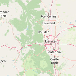
Little Sandy Creek
Map


Leaflet | <a href="https://www.openstreetmap.org/copyright">© OpenStreetMap contributors</a>
Item
| Property | Value |
|---|---|
| id | 419474 |
| downstream_mainstem_id | https://geoconnex.us/ref/mainstems/332883 |
| encompassing_mainstem_basins | ['https://geoconnex.us/ref/mainstems/332883', 'https://geoconnex.us/ref/mainstems/328831', 'https://geoconnex.us/ref/mainstems/315152', 'https://geoconnex.us/ref/mainstems/312532', 'https://geoconnex.us/ref/mainstems/312091'] |
| featuretype | ['https://www.opengis.net/def/schema/hy_features/hyf/HY_FlowPath', 'https://www.opengis.net/def/schema/hy_features/hyf/HY_WaterBody'] |
| fid | 19173 |
| head_2020huc12 | 102702070102 |
| head_nhdpv1_comid | 4019863 |
| head_nhdpv2_comid | https://geoconnex.us/nhdplusv2/comid/4019863 |
| head_nhdpv2huc12 | https://geoconnex.us/nhdplusv2/huc12/102702070102 |
| head_rf1id | 24884 |
| lengthkm | 56.7 |
| name_at_outlet | Little Sandy Creek |
| name_at_outlet_gnis_id | 830799 |
| new_mainstemid | |
| outlet_2020huc12 | 102702070103 |
| outlet_drainagearea_sqkm | 265.4 |
| outlet_nhdpv1_comid | 4020077 |
| outlet_nhdpv2_comid | https://geoconnex.us/nhdplusv2/comid/4020077 |
| outlet_nhdpv2huc12 | https://geoconnex.us/nhdplusv2/huc12/102702070103 |
| outlet_rf1id | 24884 |
| superseded | False |
| uri | https://geoconnex.us/ref/mainstems/419474 |