Fortification Creek
Map
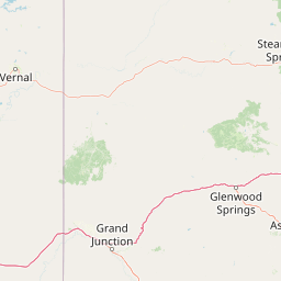
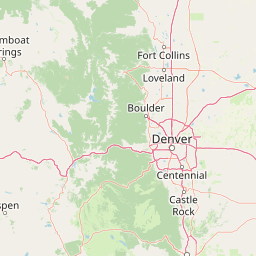
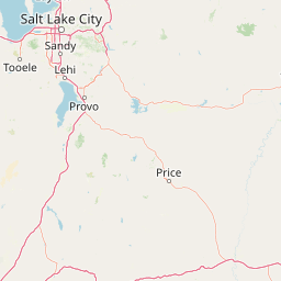

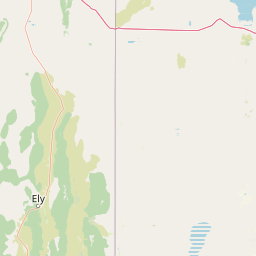

Leaflet | <a href="https://www.openstreetmap.org/copyright">© OpenStreetMap contributors</a>
Item
| Property | Value |
|---|---|
| id | 42094 |
| downstream_mainstem_id | https://geoconnex.us/ref/mainstems/32623 |
| encompassing_mainstem_basins | ['https://geoconnex.us/ref/mainstems/32623', 'https://geoconnex.us/ref/mainstems/30914', 'https://geoconnex.us/ref/mainstems/29559'] |
| featuretype | ['https://www.opengis.net/def/schema/hy_features/hyf/HY_FlowPath', 'https://www.opengis.net/def/schema/hy_features/hyf/HY_WaterBody'] |
| fid | 33653 |
| head_2020huc12 | 140500010701 |
| head_nhdpv1_comid | 1351818 |
| head_nhdpv2_comid | https://geoconnex.us/nhdplusv2/comid/1351818 |
| head_nhdpv2huc12 | https://geoconnex.us/nhdplusv2/huc12/140500010701 |
| head_rf1id | 42090 |
| lengthkm | 65.6 |
| name_at_outlet | Fortification Creek |
| name_at_outlet_gnis_id | 171183 |
| new_mainstemid | |
| outlet_2020huc12 | 140500010709 |
| outlet_drainagearea_sqkm | 676.6 |
| outlet_nhdpv1_comid | 1354874 |
| outlet_nhdpv2_comid | https://geoconnex.us/nhdplusv2/comid/1354874 |
| outlet_nhdpv2huc12 | https://geoconnex.us/nhdplusv2/huc12/140500010709 |
| outlet_rf1id | 42086 |
| superseded | False |
| uri | https://geoconnex.us/ref/mainstems/42094 |