Sand Creek
Map
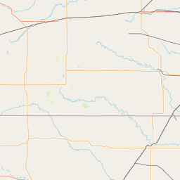
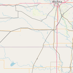
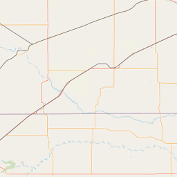
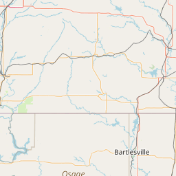
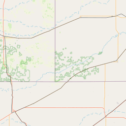
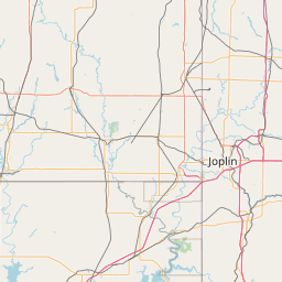
Leaflet | <a href="https://www.openstreetmap.org/copyright">© OpenStreetMap contributors</a>
Item
| Property | Value |
|---|---|
| id | 420954 |
| downstream_mainstem_id | https://geoconnex.us/ref/mainstems/342464 |
| encompassing_mainstem_basins | ['https://geoconnex.us/ref/mainstems/342464', 'https://geoconnex.us/ref/mainstems/557204', 'https://geoconnex.us/ref/mainstems/314446', 'https://geoconnex.us/ref/mainstems/312091'] |
| featuretype | ['https://www.opengis.net/def/schema/hy_features/hyf/HY_FlowPath', 'https://www.opengis.net/def/schema/hy_features/hyf/HY_WaterBody'] |
| fid | 20676 |
| head_2020huc12 | 110600050205 |
| head_nhdpv1_comid | 20984483 |
| head_nhdpv2_comid | https://geoconnex.us/nhdplusv2/comid/20984483 |
| head_nhdpv2huc12 | https://geoconnex.us/nhdplusv2/huc12/110600050205 |
| head_rf1id | 34991 |
| lengthkm | 53.9 |
| name_at_outlet | Sand Creek |
| name_at_outlet_gnis_id | 470191 |
| new_mainstemid | |
| outlet_2020huc12 | 110600050206 |
| outlet_drainagearea_sqkm | 200.7 |
| outlet_nhdpv1_comid | 20987683 |
| outlet_nhdpv2_comid | https://geoconnex.us/nhdplusv2/comid/20987683 |
| outlet_nhdpv2huc12 | https://geoconnex.us/nhdplusv2/huc12/110600050206 |
| outlet_rf1id | 34991 |
| superseded | False |
| uri | https://geoconnex.us/ref/mainstems/420954 |