Foot Creek
Map


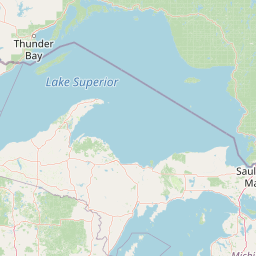
Leaflet | <a href="https://www.openstreetmap.org/copyright">© OpenStreetMap contributors</a>
Item
| Property | Value |
|---|---|
| id | 421173 |
| downstream_mainstem_id | https://geoconnex.us/ref/mainstems/396410 |
| encompassing_mainstem_basins | ['https://geoconnex.us/ref/mainstems/396410', 'https://geoconnex.us/ref/mainstems/324168', 'https://geoconnex.us/ref/mainstems/312532', 'https://geoconnex.us/ref/mainstems/312091'] |
| featuretype | ['https://www.opengis.net/def/schema/hy_features/hyf/HY_FlowPath', 'https://www.opengis.net/def/schema/hy_features/hyf/HY_WaterBody'] |
| fid | 17439 |
| head_2020huc12 | 101600031901 |
| head_nhdpv1_comid | 11473132 |
| head_nhdpv2_comid | https://geoconnex.us/nhdplusv2/comid/11473132 |
| head_nhdpv2huc12 | https://geoconnex.us/nhdplusv2/huc12/101600031901 |
| head_rf1id | 28320 |
| lengthkm | 99.0 |
| name_at_outlet | Foot Creek |
| name_at_outlet_gnis_id | 1255098 |
| new_mainstemid | |
| outlet_2020huc12 | 101600031906 |
| outlet_drainagearea_sqkm | 508.0 |
| outlet_nhdpv1_comid | 11479188 |
| outlet_nhdpv2_comid | https://geoconnex.us/nhdplusv2/comid/11479188 |
| outlet_nhdpv2huc12 | https://geoconnex.us/nhdplusv2/huc12/101600031906 |
| outlet_rf1id | 28323 |
| superseded | False |
| uri | https://geoconnex.us/ref/mainstems/421173 |