Winnebago Creek
Map
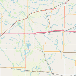
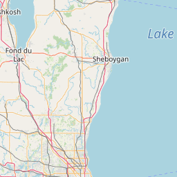
Leaflet | <a href="https://www.openstreetmap.org/copyright">© OpenStreetMap contributors</a>
Item
| Property | Value |
|---|---|
| id | 422624 |
| downstream_mainstem_id | https://geoconnex.us/ref/mainstems/404563 |
| encompassing_mainstem_basins | ['https://geoconnex.us/ref/mainstems/404563', 'https://geoconnex.us/ref/mainstems/342692', 'https://geoconnex.us/ref/mainstems/312091'] |
| featuretype | ['https://www.opengis.net/def/schema/hy_features/hyf/HY_FlowPath', 'https://www.opengis.net/def/schema/hy_features/hyf/HY_WaterBody'] |
| fid | 11117 |
| head_2020huc12 | 070600010401 |
| head_nhdpv1_comid | 13207434 |
| head_nhdpv2_comid | https://geoconnex.us/nhdplusv2/comid/13207434 |
| head_nhdpv2huc12 | https://geoconnex.us/nhdplusv2/huc12/070600010401 |
| head_rf1id | 18360 |
| lengthkm | 40.7 |
| name_at_outlet | Winnebago Creek |
| name_at_outlet_gnis_id | 654266 |
| new_mainstemid | |
| outlet_2020huc12 | 070600010402 |
| outlet_drainagearea_sqkm | 162.4 |
| outlet_nhdpv1_comid | 13211550 |
| outlet_nhdpv2_comid | https://geoconnex.us/nhdplusv2/comid/13211550 |
| outlet_nhdpv2huc12 | https://geoconnex.us/nhdplusv2/huc12/070600010402 |
| outlet_rf1id | 18360 |
| superseded | False |
| uri | https://geoconnex.us/ref/mainstems/422624 |