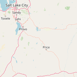
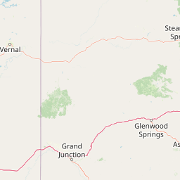
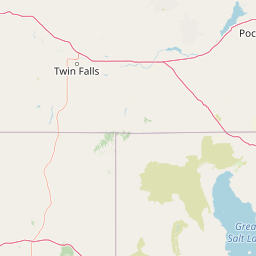
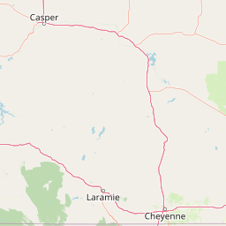
Red Creek
Map


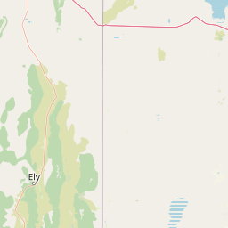


Leaflet | <a href="https://www.openstreetmap.org/copyright">© OpenStreetMap contributors</a>
Item
| Property | Value |
|---|---|
| id | 42269 |
| downstream_mainstem_id | https://geoconnex.us/ref/mainstems/30914 |
| encompassing_mainstem_basins | ['https://geoconnex.us/ref/mainstems/30914', 'https://geoconnex.us/ref/mainstems/29559'] |
| featuretype | ['https://www.opengis.net/def/schema/hy_features/hyf/HY_FlowPath', 'https://www.opengis.net/def/schema/hy_features/hyf/HY_WaterBody'] |
| fid | 25870 |
| head_2020huc12 | 140401060701 |
| head_nhdpv1_comid | 10035650 |
| head_nhdpv2_comid | https://geoconnex.us/nhdplusv2/comid/10035650 |
| head_nhdpv2huc12 | https://geoconnex.us/nhdplusv2/huc12/140401060801 |
| head_rf1id | 41940 |
| lengthkm | 47.0 |
| name_at_outlet | Red Creek |
| name_at_outlet_gnis_id | 1593267 |
| new_mainstemid | |
| outlet_2020huc12 | 140401060704 |
| outlet_drainagearea_sqkm | 395.5 |
| outlet_nhdpv1_comid | 10041026 |
| outlet_nhdpv2_comid | https://geoconnex.us/nhdplusv2/comid/10041026 |
| outlet_nhdpv2huc12 | https://geoconnex.us/nhdplusv2/huc12/140401060804 |
| outlet_rf1id | 41940 |
| superseded | False |
| uri | https://geoconnex.us/ref/mainstems/42269 |