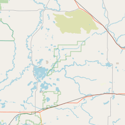
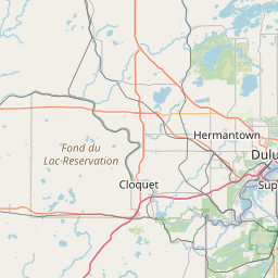
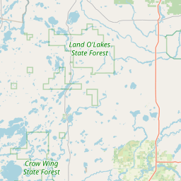
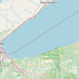
Prairie River
Map
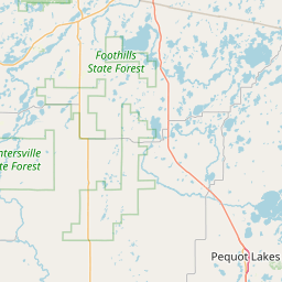
Leaflet | <a href="https://www.openstreetmap.org/copyright">© OpenStreetMap contributors</a>
Item
| Property | Value |
|---|---|
| id | 422730 |
| downstream_mainstem_id | https://geoconnex.us/ref/mainstems/1331584 |
| encompassing_mainstem_basins | ['https://geoconnex.us/ref/mainstems/1331584', 'https://geoconnex.us/ref/mainstems/312091'] |
| featuretype | ['https://www.opengis.net/def/schema/hy_features/hyf/HY_FlowPath', 'https://www.opengis.net/def/schema/hy_features/hyf/HY_WaterBody'] |
| fid | 10420 |
| head_2020huc12 | 070101030501 |
| head_nhdpv1_comid | 4839392 |
| head_nhdpv2_comid | https://geoconnex.us/nhdplusv2/comid/4839392 |
| head_nhdpv2huc12 | https://geoconnex.us/nhdplusv2/huc12/070101030501 |
| head_rf1id | 17462 |
| lengthkm | 63.2 |
| name_at_outlet | Prairie River |
| name_at_outlet_gnis_id | 662230 |
| new_mainstemid | |
| outlet_2020huc12 | 070101030506 |
| outlet_drainagearea_sqkm | 571.4 |
| outlet_nhdpv1_comid | 4841854 |
| outlet_nhdpv2_comid | https://geoconnex.us/nhdplusv2/comid/4841854 |
| outlet_nhdpv2huc12 | https://geoconnex.us/nhdplusv2/huc12/070101030506 |
| outlet_rf1id | 17460 |
| superseded | False |
| uri | https://geoconnex.us/ref/mainstems/422730 |