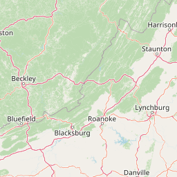
Little Fork Little Sandy River
Map


Leaflet | <a href="https://www.openstreetmap.org/copyright">© OpenStreetMap contributors</a>
Item
| Property | Value |
|---|---|
| id | 423050 |
| downstream_mainstem_id | https://geoconnex.us/ref/mainstems/369359 |
| encompassing_mainstem_basins | ['https://geoconnex.us/ref/mainstems/369359', 'https://geoconnex.us/ref/mainstems/314849', 'https://geoconnex.us/ref/mainstems/312091'] |
| featuretype | ['https://www.opengis.net/def/schema/hy_features/hyf/HY_FlowPath', 'https://www.opengis.net/def/schema/hy_features/hyf/HY_WaterBody'] |
| fid | 8604 |
| head_2020huc12 | 050901040201 |
| head_nhdpv1_comid | 1937410 |
| head_nhdpv2_comid | https://geoconnex.us/nhdplusv2/comid/1937410 |
| head_nhdpv2huc12 | https://geoconnex.us/nhdplusv2/huc12/050901040201 |
| head_rf1id | 14119 |
| lengthkm | 55.1 |
| name_at_outlet | Little Fork Little Sandy River |
| name_at_outlet_gnis_id | 496737 |
| new_mainstemid | |
| outlet_2020huc12 | 050901040205 |
| outlet_drainagearea_sqkm | 343.1 |
| outlet_nhdpv1_comid | 1936298 |
| outlet_nhdpv2_comid | https://geoconnex.us/nhdplusv2/comid/1936298 |
| outlet_nhdpv2huc12 | https://geoconnex.us/nhdplusv2/huc12/050901040205 |
| outlet_rf1id | 14116 |
| superseded | False |
| uri | https://geoconnex.us/ref/mainstems/423050 |