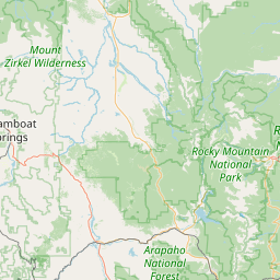
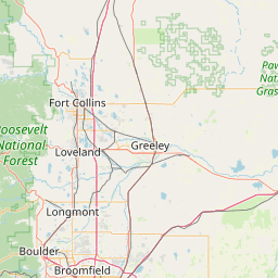
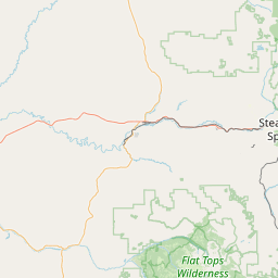
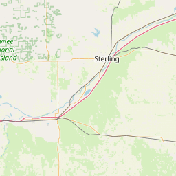
West Fork Little Thompson River
Map
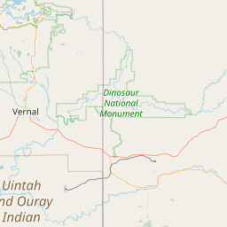
Leaflet | <a href="https://www.openstreetmap.org/copyright">© OpenStreetMap contributors</a>
Item
| Property | Value |
|---|---|
| id | 424637 |
| downstream_mainstem_id | https://geoconnex.us/ref/mainstems/372414 |
| encompassing_mainstem_basins | ['https://geoconnex.us/ref/mainstems/372414', 'https://geoconnex.us/ref/mainstems/313255', 'https://geoconnex.us/ref/mainstems/312532', 'https://geoconnex.us/ref/mainstems/312091'] |
| featuretype | ['https://www.opengis.net/def/schema/hy_features/hyf/HY_FlowPath', 'https://www.opengis.net/def/schema/hy_features/hyf/HY_WaterBody'] |
| fid | 18029 |
| head_2020huc12 | 101900060401 |
| head_nhdpv1_comid | 13620 |
| head_nhdpv2_comid | https://geoconnex.us/nhdplusv2/comid/13620 |
| head_nhdpv2huc12 | https://geoconnex.us/nhdplusv2/huc12/101900060401 |
| head_rf1id | 22866 |
| lengthkm | 78.7 |
| name_at_outlet | West Fork Little Thompson River |
| name_at_outlet_gnis_id | 177962 |
| new_mainstemid | |
| outlet_2020huc12 | 101900060504 |
| outlet_drainagearea_sqkm | 525.6 |
| outlet_nhdpv1_comid | 14990 |
| outlet_nhdpv2_comid | https://geoconnex.us/nhdplusv2/comid/14990 |
| outlet_nhdpv2huc12 | https://geoconnex.us/nhdplusv2/huc12/101900060504 |
| outlet_rf1id | 22864 |
| superseded | False |
| uri | https://geoconnex.us/ref/mainstems/424637 |