Bear River
Map
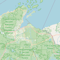
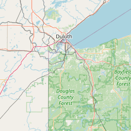
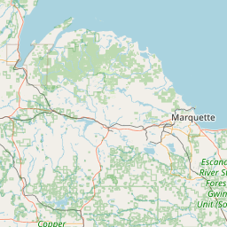
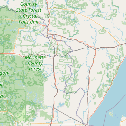
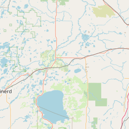

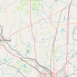
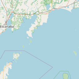
Leaflet | <a href="https://www.openstreetmap.org/copyright">© OpenStreetMap contributors</a>
Item
| Property | Value |
|---|---|
| id | 425207 |
| downstream_mainstem_id | https://geoconnex.us/ref/mainstems/348803 |
| encompassing_mainstem_basins | ['https://geoconnex.us/ref/mainstems/348803', 'https://geoconnex.us/ref/mainstems/333963', 'https://geoconnex.us/ref/mainstems/312091'] |
| featuretype | ['https://www.opengis.net/def/schema/hy_features/hyf/HY_FlowPath', 'https://www.opengis.net/def/schema/hy_features/hyf/HY_WaterBody'] |
| fid | 11000 |
| head_2020huc12 | |
| head_nhdpv1_comid | 13344430 |
| head_nhdpv2_comid | https://geoconnex.us/nhdplusv2/comid/13344430 |
| head_nhdpv2huc12 | |
| head_rf1id | 18211 |
| lengthkm | 47.4 |
| name_at_outlet | Bear River |
| name_at_outlet_gnis_id | 1578726 |
| new_mainstemid | |
| outlet_2020huc12 | |
| outlet_drainagearea_sqkm | 362.1 |
| outlet_nhdpv1_comid | 13345878 |
| outlet_nhdpv2_comid | https://geoconnex.us/nhdplusv2/comid/13345878 |
| outlet_nhdpv2huc12 | |
| outlet_rf1id | 18210 |
| superseded | False |
| uri | https://geoconnex.us/ref/mainstems/425207 |
Graph Results
| monitoringLocation | https://sta.geoconnex.dev/collections/USGS/Things/items/'USGS-05357335' |
|---|---|
| siteName | USGS-05357335 |
| datasetDescription | Discharge / USGS-05357335-629607a708294a72811ca4881627e3b2 |
| type | Stream |
| url | https://waterdata.usgs.gov/monitoring-location/05357335/#parameterCode=00060 |
| variableMeasured | Discharge / USGS-05357335-629607a708294a72811ca4881627e3b2 |
| variableUnit | ft^3/s |
| measurementTechnique | observation |
| temporalCoverage | 2024-08-30T09:15:00Z/2024-09-09T18:15:00Z |
| distributionName | USGS Instantaneous Values Service |
| distributionURL | https://waterservices.usgs.gov/nwis/iv/?sites=USGS:05357335¶meterCd=00060&format=rdb |
| distributionFormat | text/tab-separated-values |
| wkt | POINT (-89.9846035084979 46.0488377077271) |
| monitoringLocation | https://sta.geoconnex.dev/collections/USGS/Things/items/'USGS-05357335' |
|---|---|
| siteName | USGS-05357335 |
| datasetDescription | Discharge / USGS-05357335-629607a708294a72811ca4881627e3b2 |
| type | Stream |
| url | https://waterdata.usgs.gov/monitoring-location/05357335/#parameterCode=00060 |
| variableMeasured | Discharge / USGS-05357335-629607a708294a72811ca4881627e3b2 |
| variableUnit | ft^3/s |
| measurementTechnique | observation |
| temporalCoverage | 2024-08-30T09:15:00Z/2024-09-09T18:15:00Z |
| distributionName | USGS SensorThings API |
| distributionURL | https://labs.waterdata.usgs.gov/sta/v1.1/Datastreams('629607a708294a72811ca4881627e3b2')?$expand=Thing,Observations |
| distributionFormat | application/json |
| wkt | POINT (-89.9846035084979 46.0488377077271) |
| monitoringLocation | https://sta.geoconnex.dev/collections/USGS/Things/items/'USGS-05357335' |
|---|---|
| siteName | USGS-05357335 |
| datasetDescription | Gage height / USGS-05357335-6025cc2c5053465d855b12d3010694e3 |
| type | Stream |
| url | https://waterdata.usgs.gov/monitoring-location/05357335/#parameterCode=00065 |
| variableMeasured | Gage height / USGS-05357335-6025cc2c5053465d855b12d3010694e3 |
| variableUnit | ft |
| measurementTechnique | observation |
| temporalCoverage | 2024-08-30T09:15:00Z/2024-09-09T18:15:00Z |
| distributionName | USGS Instantaneous Values Service |
| distributionURL | https://waterservices.usgs.gov/nwis/iv/?sites=USGS:05357335¶meterCd=00065&format=rdb |
| distributionFormat | text/tab-separated-values |
| wkt | POINT (-89.9846035084979 46.0488377077271) |
| monitoringLocation | https://sta.geoconnex.dev/collections/USGS/Things/items/'USGS-05357335' |
|---|---|
| siteName | USGS-05357335 |
| datasetDescription | Gage height / USGS-05357335-6025cc2c5053465d855b12d3010694e3 |
| type | Stream |
| url | https://waterdata.usgs.gov/monitoring-location/05357335/#parameterCode=00065 |
| variableMeasured | Gage height / USGS-05357335-6025cc2c5053465d855b12d3010694e3 |
| variableUnit | ft |
| measurementTechnique | observation |
| temporalCoverage | 2024-08-30T09:15:00Z/2024-09-09T18:15:00Z |
| distributionName | USGS SensorThings API |
| distributionURL | https://labs.waterdata.usgs.gov/sta/v1.1/Datastreams('6025cc2c5053465d855b12d3010694e3')?$expand=Thing,Observations |
| distributionFormat | application/json |
| wkt | POINT (-89.9846035084979 46.0488377077271) |
| monitoringLocation | https://sta.geoconnex.dev/collections/USGS/Things/items/'USGS-05357335' |
|---|---|
| siteName | USGS-05357335 |
| datasetDescription | Stream water level elevation above NAVD 1988, in feet / USGS-05357335-dd8be4250e424f9f99879398258a5ccb |
| type | Stream |
| url | https://waterdata.usgs.gov/monitoring-location/05357335/#parameterCode=63160 |
| variableMeasured | Stream water level elevation above NAVD 1988 |
| variableUnit | ft |
| measurementTechnique | observation |
| temporalCoverage | 2024-08-30T09:15:00Z/2024-09-09T18:15:00Z |
| distributionName | USGS SensorThings API |
| distributionURL | https://labs.waterdata.usgs.gov/sta/v1.1/Datastreams('dd8be4250e424f9f99879398258a5ccb')?$expand=Thing,Observations |
| distributionFormat | application/json |
| wkt | POINT (-89.9846035084979 46.0488377077271) |
| monitoringLocation | https://sta.geoconnex.dev/collections/USGS/Things/items/'USGS-05357335' |
|---|---|
| siteName | USGS-05357335 |
| datasetDescription | Stream water level elevation above NAVD 1988, in feet / USGS-05357335-dd8be4250e424f9f99879398258a5ccb |
| type | Stream |
| url | https://waterdata.usgs.gov/monitoring-location/05357335/#parameterCode=63160 |
| variableMeasured | Stream water level elevation above NAVD 1988 |
| variableUnit | ft |
| measurementTechnique | observation |
| temporalCoverage | 2024-08-30T09:15:00Z/2024-09-09T18:15:00Z |
| distributionName | USGS Instantaneous Values Service |
| distributionURL | https://waterservices.usgs.gov/nwis/iv/?sites=USGS:05357335¶meterCd=63160&format=rdb |
| distributionFormat | text/tab-separated-values |
| wkt | POINT (-89.9846035084979 46.0488377077271) |