Show Low Creek
Map
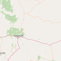
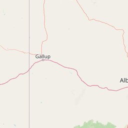
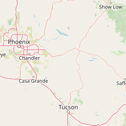
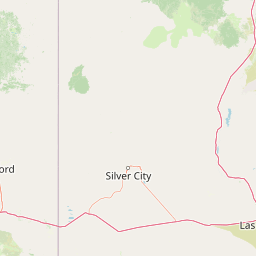
Leaflet | <a href="https://www.openstreetmap.org/copyright">© OpenStreetMap contributors</a>
Item
| Property | Value |
|---|---|
| id | 42523 |
| downstream_mainstem_id | https://geoconnex.us/ref/mainstems/39496 |
| encompassing_mainstem_basins | ['https://geoconnex.us/ref/mainstems/39496', 'https://geoconnex.us/ref/mainstems/32982', 'https://geoconnex.us/ref/mainstems/29559'] |
| featuretype | ['https://www.opengis.net/def/schema/hy_features/hyf/HY_FlowPath', 'https://www.opengis.net/def/schema/hy_features/hyf/HY_WaterBody'] |
| fid | 26776 |
| head_2020huc12 | 150200050102 |
| head_nhdpv1_comid | 21756160 |
| head_nhdpv2_comid | https://geoconnex.us/nhdplusv2/comid/21756160 |
| head_nhdpv2huc12 | https://geoconnex.us/nhdplusv2/huc12/150200050102 |
| head_rf1id | 43539 |
| lengthkm | 76.5 |
| name_at_outlet | Show Low Creek |
| name_at_outlet_gnis_id | 34392 |
| new_mainstemid | |
| outlet_2020huc12 | 150200050110 |
| outlet_drainagearea_sqkm | 529.4 |
| outlet_nhdpv1_comid | 21754752 |
| outlet_nhdpv2_comid | https://geoconnex.us/nhdplusv2/comid/21754752 |
| outlet_nhdpv2huc12 | https://geoconnex.us/nhdplusv2/huc12/150200050110 |
| outlet_rf1id | 43537 |
| superseded | False |
| uri | https://geoconnex.us/ref/mainstems/42523 |
Graph Results
| monitoringLocation | https://sta.geoconnex.dev/collections/USGS/Things/items/'USGS-09390500' |
|---|---|
| siteName | USGS-09390500 |
| datasetDescription | Discharge, cubic feet per second / USGS-09390500-166c14b5a4244437ab7820a36009e842 |
| type | Stream |
| url | https://waterdata.usgs.gov/monitoring-location/09390500/#parameterCode=00060 |
| variableMeasured | Discharge |
| variableUnit | ft^3/s |
| measurementTechnique | observation |
| temporalCoverage | 2024-08-30T09:15:00Z/2024-09-09T18:15:00Z |
| distributionName | USGS Instantaneous Values Service |
| distributionURL | https://waterservices.usgs.gov/nwis/iv/?sites=USGS:09390500¶meterCd=00060&format=rdb |
| distributionFormat | text/tab-separated-values |
| wkt | POINT (-109.987885767392 34.1794875489697) |
| monitoringLocation | https://sta.geoconnex.dev/collections/USGS/Things/items/'USGS-09390500' |
|---|---|
| siteName | USGS-09390500 |
| datasetDescription | Discharge, cubic feet per second / USGS-09390500-166c14b5a4244437ab7820a36009e842 |
| type | Stream |
| url | https://waterdata.usgs.gov/monitoring-location/09390500/#parameterCode=00060 |
| variableMeasured | Discharge |
| variableUnit | ft^3/s |
| measurementTechnique | observation |
| temporalCoverage | 2024-08-30T09:15:00Z/2024-09-09T18:15:00Z |
| distributionName | USGS SensorThings API |
| distributionURL | https://labs.waterdata.usgs.gov/sta/v1.1/Datastreams('166c14b5a4244437ab7820a36009e842')?$expand=Thing,Observations |
| distributionFormat | application/json |
| wkt | POINT (-109.987885767392 34.1794875489697) |
| monitoringLocation | https://sta.geoconnex.dev/collections/USGS/Things/items/'USGS-09390500' |
|---|---|
| siteName | USGS-09390500 |
| datasetDescription | Gage height / USGS-09390500-04296c995916413c83c4f1c5705ba699 |
| type | Stream |
| url | https://waterdata.usgs.gov/monitoring-location/09390500/#parameterCode=00065 |
| variableMeasured | Gage height / USGS-09390500-04296c995916413c83c4f1c5705ba699 |
| variableUnit | ft |
| measurementTechnique | observation |
| temporalCoverage | 2024-08-30T09:15:00Z/2024-09-09T18:15:00Z |
| distributionName | USGS Instantaneous Values Service |
| distributionURL | https://waterservices.usgs.gov/nwis/iv/?sites=USGS:09390500¶meterCd=00065&format=rdb |
| distributionFormat | text/tab-separated-values |
| wkt | POINT (-109.987885767392 34.1794875489697) |
| monitoringLocation | https://sta.geoconnex.dev/collections/USGS/Things/items/'USGS-09390500' |
|---|---|
| siteName | USGS-09390500 |
| datasetDescription | Gage height / USGS-09390500-04296c995916413c83c4f1c5705ba699 |
| type | Stream |
| url | https://waterdata.usgs.gov/monitoring-location/09390500/#parameterCode=00065 |
| variableMeasured | Gage height / USGS-09390500-04296c995916413c83c4f1c5705ba699 |
| variableUnit | ft |
| measurementTechnique | observation |
| temporalCoverage | 2024-08-30T09:15:00Z/2024-09-09T18:15:00Z |
| distributionName | USGS SensorThings API |
| distributionURL | https://labs.waterdata.usgs.gov/sta/v1.1/Datastreams('04296c995916413c83c4f1c5705ba699')?$expand=Thing,Observations |
| distributionFormat | application/json |
| wkt | POINT (-109.987885767392 34.1794875489697) |
| monitoringLocation | https://sta.geoconnex.dev/collections/USGS/Things/items/'USGS-09390500' |
|---|---|
| siteName | USGS-09390500 |
| datasetDescription | Gage height / USGS-09390500-2097be4d50df4752b7c4049a49ff364c |
| type | Stream |
| url | https://waterdata.usgs.gov/monitoring-location/09390500/#parameterCode=00065 |
| variableMeasured | Gage height / USGS-09390500-2097be4d50df4752b7c4049a49ff364c |
| variableUnit | ft |
| measurementTechnique | observation |
| temporalCoverage | 2024-08-30T09:15:00Z/2024-09-09T18:15:00Z |
| distributionName | USGS Instantaneous Values Service |
| distributionURL | https://waterservices.usgs.gov/nwis/iv/?sites=USGS:09390500¶meterCd=00065&format=rdb |
| distributionFormat | text/tab-separated-values |
| wkt | POINT (-109.987885767392 34.1794875489697) |
| monitoringLocation | https://sta.geoconnex.dev/collections/USGS/Things/items/'USGS-09390500' |
|---|---|
| siteName | USGS-09390500 |
| datasetDescription | Gage height / USGS-09390500-2097be4d50df4752b7c4049a49ff364c |
| type | Stream |
| url | https://waterdata.usgs.gov/monitoring-location/09390500/#parameterCode=00065 |
| variableMeasured | Gage height / USGS-09390500-2097be4d50df4752b7c4049a49ff364c |
| variableUnit | ft |
| measurementTechnique | observation |
| temporalCoverage | 2024-08-30T09:15:00Z/2024-09-09T18:15:00Z |
| distributionName | USGS SensorThings API |
| distributionURL | https://labs.waterdata.usgs.gov/sta/v1.1/Datastreams('2097be4d50df4752b7c4049a49ff364c')?$expand=Thing,Observations |
| distributionFormat | application/json |
| wkt | POINT (-109.987885767392 34.1794875489697) |