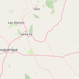
Barranca Creek
Map
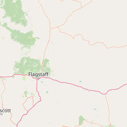

Leaflet | <a href="https://www.openstreetmap.org/copyright">© OpenStreetMap contributors</a>
Item
| Property | Value |
|---|---|
| id | 425964 |
| downstream_mainstem_id | https://geoconnex.us/ref/mainstems/379449 |
| encompassing_mainstem_basins | ['https://geoconnex.us/ref/mainstems/379449', 'https://geoconnex.us/ref/mainstems/315626', 'https://geoconnex.us/ref/mainstems/314446', 'https://geoconnex.us/ref/mainstems/312091'] |
| featuretype | ['https://www.opengis.net/def/schema/hy_features/hyf/HY_FlowPath', 'https://www.opengis.net/def/schema/hy_features/hyf/HY_WaterBody'] |
| fid | 21153 |
| head_2020huc12 | 110800080302 |
| head_nhdpv1_comid | 20018879 |
| head_nhdpv2_comid | https://geoconnex.us/nhdplusv2/comid/20018879 |
| head_nhdpv2huc12 | https://geoconnex.us/nhdplusv2/huc12/110800080302 |
| head_rf1id | 35382 |
| lengthkm | 57.3 |
| name_at_outlet | Barranca Creek |
| name_at_outlet_gnis_id | 886083 |
| new_mainstemid | |
| outlet_2020huc12 | 110800080305 |
| outlet_drainagearea_sqkm | 572.4 |
| outlet_nhdpv1_comid | 20018001 |
| outlet_nhdpv2_comid | https://geoconnex.us/nhdplusv2/comid/20018001 |
| outlet_nhdpv2huc12 | https://geoconnex.us/nhdplusv2/huc12/110800080305 |
| outlet_rf1id | 35382 |
| superseded | False |
| uri | https://geoconnex.us/ref/mainstems/425964 |