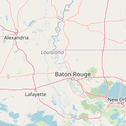
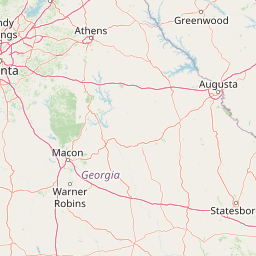
Clarks Creek
Map


Leaflet | <a href="https://www.openstreetmap.org/copyright">© OpenStreetMap contributors</a>
Item
| Property | Value |
|---|---|
| id | 427403 |
| downstream_mainstem_id | https://geoconnex.us/ref/mainstems/378326 |
| encompassing_mainstem_basins | ['https://geoconnex.us/ref/mainstems/378326', 'https://geoconnex.us/ref/mainstems/350409', 'https://geoconnex.us/ref/mainstems/312091'] |
| featuretype | ['https://www.opengis.net/def/schema/hy_features/hyf/HY_FlowPath', 'https://www.opengis.net/def/schema/hy_features/hyf/HY_WaterBody'] |
| fid | 13734 |
| head_2020huc12 | 080602030601 |
| head_nhdpv1_comid | 19141915 |
| head_nhdpv2_comid | https://geoconnex.us/nhdplusv2/comid/19141915 |
| head_nhdpv2huc12 | https://geoconnex.us/nhdplusv2/huc12/080602030601 |
| head_rf1id | 21505 |
| lengthkm | 35.7 |
| name_at_outlet | Clarks Creek |
| name_at_outlet_gnis_id | 692918 |
| new_mainstemid | |
| outlet_2020huc12 | 080602030603 |
| outlet_drainagearea_sqkm | 212.3 |
| outlet_nhdpv1_comid | 19140705 |
| outlet_nhdpv2_comid | https://geoconnex.us/nhdplusv2/comid/19140705 |
| outlet_nhdpv2huc12 | https://geoconnex.us/nhdplusv2/huc12/080602030603 |
| outlet_rf1id | 21505 |
| superseded | False |
| uri | https://geoconnex.us/ref/mainstems/427403 |