Trout River
Map
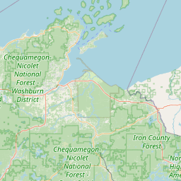
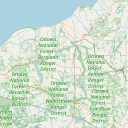
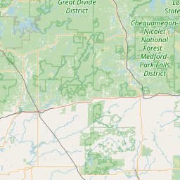
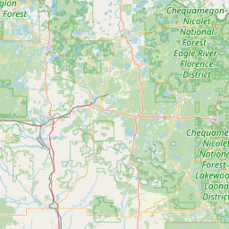
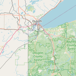
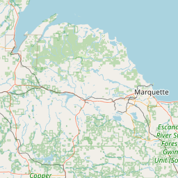
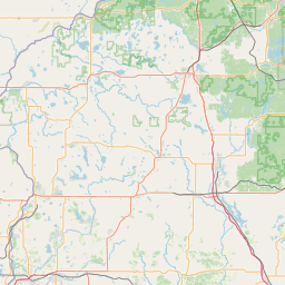
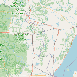
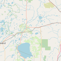

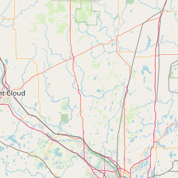
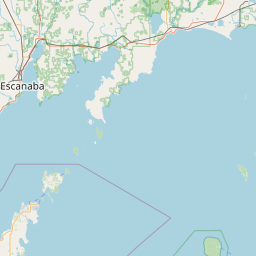
Leaflet | <a href="https://www.openstreetmap.org/copyright">© OpenStreetMap contributors</a>
Item
| Property | Value |
|---|---|
| id | 427931 |
| downstream_mainstem_id | https://geoconnex.us/ref/mainstems/348803 |
| encompassing_mainstem_basins | ['https://geoconnex.us/ref/mainstems/348803', 'https://geoconnex.us/ref/mainstems/333963', 'https://geoconnex.us/ref/mainstems/312091'] |
| featuretype | ['https://www.opengis.net/def/schema/hy_features/hyf/HY_FlowPath', 'https://www.opengis.net/def/schema/hy_features/hyf/HY_WaterBody'] |
| fid | 11002 |
| head_2020huc12 | 070500020105 |
| head_nhdpv1_comid | None |
| head_nhdpv2_comid | https://geoconnex.us/nhdplusv2/comid/13344840 |
| head_nhdpv2huc12 | https://geoconnex.us/nhdplusv2/huc12/070500020105 |
| head_rf1id | 20481 |
| lengthkm | 33.8 |
| name_at_outlet | Trout River |
| name_at_outlet_gnis_id | 1575677 |
| new_mainstemid | |
| outlet_2020huc12 | 070500020106 |
| outlet_drainagearea_sqkm | 218.2 |
| outlet_nhdpv1_comid | None |
| outlet_nhdpv2_comid | https://geoconnex.us/nhdplusv2/comid/937050107 |
| outlet_nhdpv2huc12 | https://geoconnex.us/nhdplusv2/huc12/070500020106 |
| outlet_rf1id | 20484 |
| superseded | False |
| uri | https://geoconnex.us/ref/mainstems/427931 |