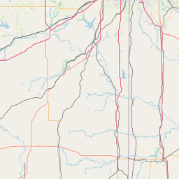
Bennett Spring
Map
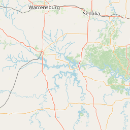

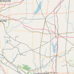
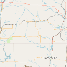
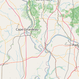
Leaflet | <a href="https://www.openstreetmap.org/copyright">© OpenStreetMap contributors</a>
Item
| Property | Value |
|---|---|
| id | 432837 |
| downstream_mainstem_id | https://geoconnex.us/ref/mainstems/336878 |
| encompassing_mainstem_basins | ['https://geoconnex.us/ref/mainstems/336878', 'https://geoconnex.us/ref/mainstems/324362', 'https://geoconnex.us/ref/mainstems/312532', 'https://geoconnex.us/ref/mainstems/312091'] |
| featuretype | ['https://www.opengis.net/def/schema/hy_features/hyf/HY_FlowPath', 'https://www.opengis.net/def/schema/hy_features/hyf/HY_WaterBody'] |
| fid | 19524 |
| head_2020huc12 | 102901100201 |
| head_nhdpv1_comid | 7398221 |
| head_nhdpv2_comid | https://geoconnex.us/nhdplusv2/comid/7398221 |
| head_nhdpv2huc12 | https://geoconnex.us/nhdplusv2/huc12/102901100201 |
| head_rf1id | 25335 |
| lengthkm | 25.0 |
| name_at_outlet | Bennett Spring |
| name_at_outlet_gnis_id | 738231 |
| new_mainstemid | |
| outlet_2020huc12 | 102901100202 |
| outlet_drainagearea_sqkm | 113.0 |
| outlet_nhdpv1_comid | 7398423 |
| outlet_nhdpv2_comid | https://geoconnex.us/nhdplusv2/comid/7398423 |
| outlet_nhdpv2huc12 | https://geoconnex.us/nhdplusv2/huc12/102901100202 |
| outlet_rf1id | 25335 |
| superseded | False |
| uri | https://geoconnex.us/ref/mainstems/432837 |