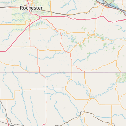
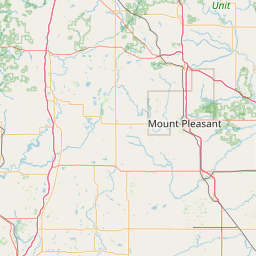
North Branch Crawfish River
Map
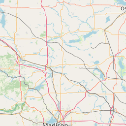
Leaflet | <a href="https://www.openstreetmap.org/copyright">© OpenStreetMap contributors</a>
Item
| Property | Value |
|---|---|
| id | 433785 |
| downstream_mainstem_id | https://geoconnex.us/ref/mainstems/363460 |
| encompassing_mainstem_basins | ['https://geoconnex.us/ref/mainstems/363460', 'https://geoconnex.us/ref/mainstems/327078', 'https://geoconnex.us/ref/mainstems/312091'] |
| featuretype | ['https://www.opengis.net/def/schema/hy_features/hyf/HY_FlowPath', 'https://www.opengis.net/def/schema/hy_features/hyf/HY_WaterBody'] |
| fid | 11708 |
| head_2020huc12 | 070900010702 |
| head_nhdpv1_comid | 13284694 |
| head_nhdpv2_comid | https://geoconnex.us/nhdplusv2/comid/13284694 |
| head_nhdpv2huc12 | https://geoconnex.us/nhdplusv2/huc12/070900010702 |
| head_rf1id | 19179 |
| lengthkm | 46.2 |
| name_at_outlet | North Branch Crawfish River |
| name_at_outlet_gnis_id | 1570369 |
| new_mainstemid | |
| outlet_2020huc12 | 070900010703 |
| outlet_drainagearea_sqkm | 209.6 |
| outlet_nhdpv1_comid | 13284678 |
| outlet_nhdpv2_comid | https://geoconnex.us/nhdplusv2/comid/13284678 |
| outlet_nhdpv2huc12 | https://geoconnex.us/nhdplusv2/huc12/070900010703 |
| outlet_rf1id | 19179 |
| superseded | False |
| uri | https://geoconnex.us/ref/mainstems/433785 |