Saint Catherine Creek
Map
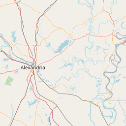
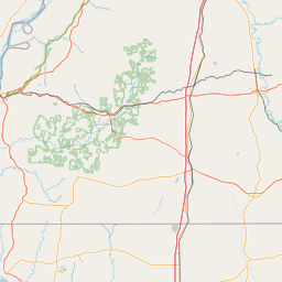
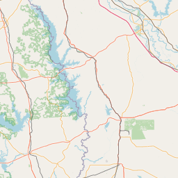
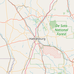
Leaflet | <a href="https://www.openstreetmap.org/copyright">© OpenStreetMap contributors</a>
Item
| Property | Value |
|---|---|
| id | 436604 |
| downstream_mainstem_id | https://geoconnex.us/ref/mainstems/312091 |
| encompassing_mainstem_basins | ['https://geoconnex.us/ref/mainstems/312091'] |
| featuretype | ['https://www.opengis.net/def/schema/hy_features/hyf/HY_FlowPath', 'https://www.opengis.net/def/schema/hy_features/hyf/HY_WaterBody'] |
| fid | 13675 |
| head_2020huc12 | 080601000401 |
| head_nhdpv1_comid | 19122152 |
| head_nhdpv2_comid | https://geoconnex.us/nhdplusv2/comid/19122152 |
| head_nhdpv2huc12 | https://geoconnex.us/nhdplusv2/huc12/080601000401 |
| head_rf1id | 21518 |
| lengthkm | 37.7 |
| name_at_outlet | Saint Catherine Creek |
| name_at_outlet_gnis_id | 711464 |
| new_mainstemid | |
| outlet_2020huc12 | 080601000403 |
| outlet_drainagearea_sqkm | 208.0 |
| outlet_nhdpv1_comid | 19122186 |
| outlet_nhdpv2_comid | https://geoconnex.us/nhdplusv2/comid/19122186 |
| outlet_nhdpv2huc12 | https://geoconnex.us/nhdplusv2/huc12/080601000403 |
| outlet_rf1id | 21518 |
| superseded | False |
| uri | https://geoconnex.us/ref/mainstems/436604 |