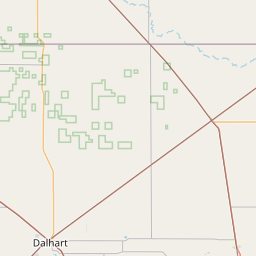
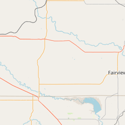
North Fork Kiowa Creek
Map
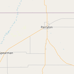
Leaflet | <a href="https://www.openstreetmap.org/copyright">© OpenStreetMap contributors</a>
Item
| Property | Value |
|---|---|
| id | 438173 |
| downstream_mainstem_id | https://geoconnex.us/ref/mainstems/381819 |
| encompassing_mainstem_basins | ['https://geoconnex.us/ref/mainstems/381819', 'https://geoconnex.us/ref/mainstems/323471', 'https://geoconnex.us/ref/mainstems/315626', 'https://geoconnex.us/ref/mainstems/314446', 'https://geoconnex.us/ref/mainstems/312091'] |
| featuretype | ['https://www.opengis.net/def/schema/hy_features/hyf/HY_FlowPath', 'https://www.opengis.net/def/schema/hy_features/hyf/HY_WaterBody'] |
| fid | 21404 |
| head_2020huc12 | 111002010203 |
| head_nhdpv1_comid | 13827106 |
| head_nhdpv2_comid | https://geoconnex.us/nhdplusv2/comid/13827106 |
| head_nhdpv2huc12 | https://geoconnex.us/nhdplusv2/huc12/111002010203 |
| head_rf1id | 35623 |
| lengthkm | 42.7 |
| name_at_outlet | North Fork Kiowa Creek |
| name_at_outlet_gnis_id | 1375166 |
| new_mainstemid | |
| outlet_2020huc12 | 111002010204 |
| outlet_drainagearea_sqkm | 468.5 |
| outlet_nhdpv1_comid | 13827086 |
| outlet_nhdpv2_comid | https://geoconnex.us/nhdplusv2/comid/13827086 |
| outlet_nhdpv2huc12 | https://geoconnex.us/nhdplusv2/huc12/111002010204 |
| outlet_rf1id | 35623 |
| superseded | False |
| uri | https://geoconnex.us/ref/mainstems/438173 |