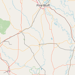
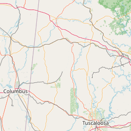
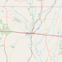
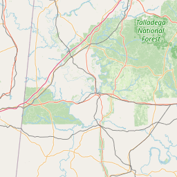
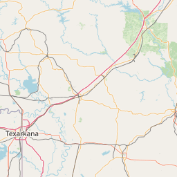
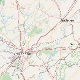
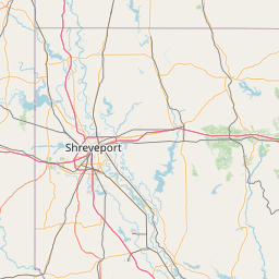
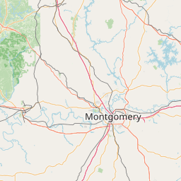
Indian Creek
Map
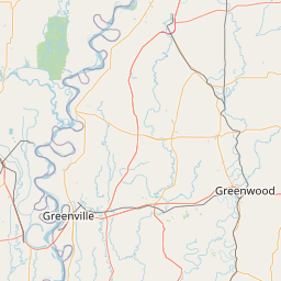
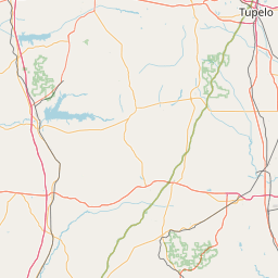
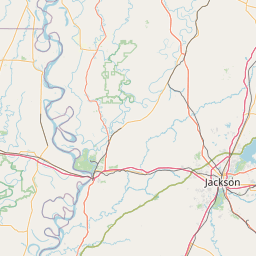
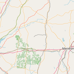
Leaflet | <a href="https://www.openstreetmap.org/copyright">© OpenStreetMap contributors</a>
Item
| Property | Value |
|---|---|
| id | 440099 |
| downstream_mainstem_id | https://geoconnex.us/ref/mainstems/433346 |
| encompassing_mainstem_basins | ['https://geoconnex.us/ref/mainstems/433346', 'https://geoconnex.us/ref/mainstems/328164', 'https://geoconnex.us/ref/mainstems/312091'] |
| featuretype | ['https://www.opengis.net/def/schema/hy_features/hyf/HY_FlowPath', 'https://www.opengis.net/def/schema/hy_features/hyf/HY_WaterBody'] |
| fid | 13694 |
| head_2020huc12 | |
| head_nhdpv1_comid | 19222819 |
| head_nhdpv2_comid | https://geoconnex.us/nhdplusv2/comid/19222819 |
| head_nhdpv2huc12 | |
| head_rf1id | None |
| lengthkm | 28.4 |
| name_at_outlet | Indian Creek |
| name_at_outlet_gnis_id | 671689 |
| new_mainstemid | |
| outlet_2020huc12 | |
| outlet_drainagearea_sqkm | 95.4 |
| outlet_nhdpv1_comid | 19225969 |
| outlet_nhdpv2_comid | https://geoconnex.us/nhdplusv2/comid/19225969 |
| outlet_nhdpv2huc12 | |
| outlet_rf1id | None |
| superseded | False |
| uri | https://geoconnex.us/ref/mainstems/440099 |