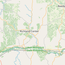
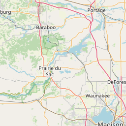
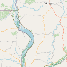
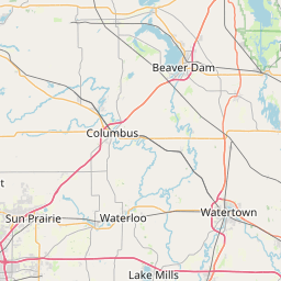
Narrows Creek
Map
Leaflet | <a href="https://www.openstreetmap.org/copyright">© OpenStreetMap contributors</a>
Item
| Property | Value |
|---|---|
| id | 440691 |
| downstream_mainstem_id | https://geoconnex.us/ref/mainstems/359842 |
| encompassing_mainstem_basins | ['https://geoconnex.us/ref/mainstems/359842', 'https://geoconnex.us/ref/mainstems/323742', 'https://geoconnex.us/ref/mainstems/312091'] |
| featuretype | ['https://www.opengis.net/def/schema/hy_features/hyf/HY_FlowPath', 'https://www.opengis.net/def/schema/hy_features/hyf/HY_WaterBody'] |
| fid | 11353 |
| head_2020huc12 | 070700040301 |
| head_nhdpv1_comid | 13654526 |
| head_nhdpv2_comid | https://geoconnex.us/nhdplusv2/comid/13654526 |
| head_nhdpv2huc12 | https://geoconnex.us/nhdplusv2/huc12/070700040301 |
| head_rf1id | 18633 |
| lengthkm | 32.4 |
| name_at_outlet | Narrows Creek |
| name_at_outlet_gnis_id | 1570103 |
| new_mainstemid | |
| outlet_2020huc12 | 070700040302 |
| outlet_drainagearea_sqkm | 177.6 |
| outlet_nhdpv1_comid | 13653886 |
| outlet_nhdpv2_comid | https://geoconnex.us/nhdplusv2/comid/13653886 |
| outlet_nhdpv2huc12 | https://geoconnex.us/nhdplusv2/huc12/070700040302 |
| outlet_rf1id | 18633 |
| superseded | False |
| uri | https://geoconnex.us/ref/mainstems/440691 |