Little Laurel River
Map
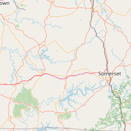
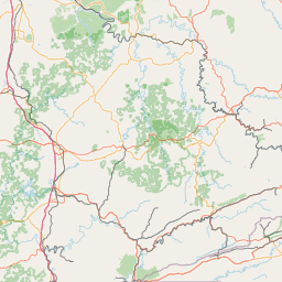
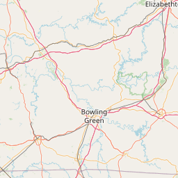
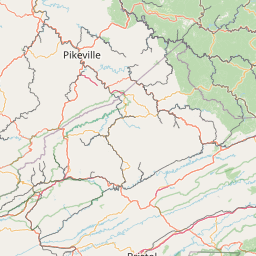
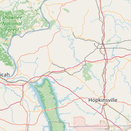

Leaflet | <a href="https://www.openstreetmap.org/copyright">© OpenStreetMap contributors</a>
Item
| Property | Value |
|---|---|
| id | 441229 |
| downstream_mainstem_id | https://geoconnex.us/ref/mainstems/391221 |
| encompassing_mainstem_basins | ['https://geoconnex.us/ref/mainstems/391221', 'https://geoconnex.us/ref/mainstems/319580', 'https://geoconnex.us/ref/mainstems/314849', 'https://geoconnex.us/ref/mainstems/312091'] |
| featuretype | ['https://www.opengis.net/def/schema/hy_features/hyf/HY_FlowPath', 'https://www.opengis.net/def/schema/hy_features/hyf/HY_WaterBody'] |
| fid | 9425 |
| head_2020huc12 | 051301010802 |
| head_nhdpv1_comid | 10186640 |
| head_nhdpv2_comid | https://geoconnex.us/nhdplusv2/comid/10186640 |
| head_nhdpv2huc12 | https://geoconnex.us/nhdplusv2/huc12/051301010802 |
| head_rf1id | 15140 |
| lengthkm | 39.4 |
| name_at_outlet | Little Laurel River |
| name_at_outlet_gnis_id | 513497 |
| new_mainstemid | |
| outlet_2020huc12 | 051301010802 |
| outlet_drainagearea_sqkm | 114.2 |
| outlet_nhdpv1_comid | 10187154 |
| outlet_nhdpv2_comid | https://geoconnex.us/nhdplusv2/comid/10187154 |
| outlet_nhdpv2huc12 | https://geoconnex.us/nhdplusv2/huc12/051301010802 |
| outlet_rf1id | 15140 |
| superseded | False |
| uri | https://geoconnex.us/ref/mainstems/441229 |