Crooked Creek
Map
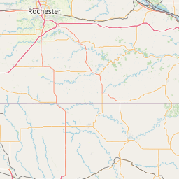
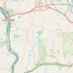
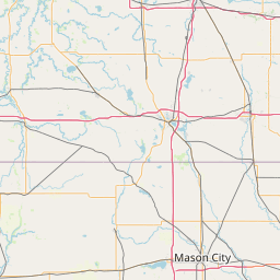
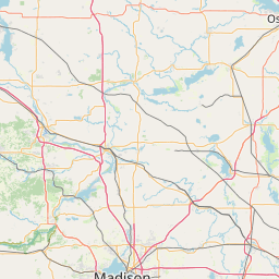
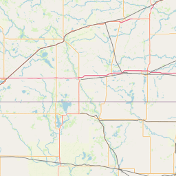
Leaflet | <a href="https://www.openstreetmap.org/copyright">© OpenStreetMap contributors</a>
Item
| Property | Value |
|---|---|
| id | 448518 |
| downstream_mainstem_id | https://geoconnex.us/ref/mainstems/404563 |
| encompassing_mainstem_basins | ['https://geoconnex.us/ref/mainstems/404563', 'https://geoconnex.us/ref/mainstems/342692', 'https://geoconnex.us/ref/mainstems/312091'] |
| featuretype | ['https://www.opengis.net/def/schema/hy_features/hyf/HY_FlowPath', 'https://www.opengis.net/def/schema/hy_features/hyf/HY_WaterBody'] |
| fid | 11116 |
| head_2020huc12 | 070600010202 |
| head_nhdpv1_comid | 13208122 |
| head_nhdpv2_comid | https://geoconnex.us/nhdplusv2/comid/13208122 |
| head_nhdpv2huc12 | https://geoconnex.us/nhdplusv2/huc12/070600010202 |
| head_rf1id | None |
| lengthkm | 36.6 |
| name_at_outlet | Crooked Creek |
| name_at_outlet_gnis_id | 642456 |
| new_mainstemid | |
| outlet_2020huc12 | 070600010203 |
| outlet_drainagearea_sqkm | 191.9 |
| outlet_nhdpv1_comid | 13208400 |
| outlet_nhdpv2_comid | https://geoconnex.us/nhdplusv2/comid/13208400 |
| outlet_nhdpv2huc12 | https://geoconnex.us/nhdplusv2/huc12/070600010203 |
| outlet_rf1id | None |
| superseded | False |
| uri | https://geoconnex.us/ref/mainstems/448518 |
Graph Results
| monitoringLocation | https://sta.geoconnex.dev/collections/USGS/Things/items/'USGS-05387030' |
|---|---|
| siteName | USGS-05387030 |
| datasetDescription | Gage height, feet / USGS-05387030-ccd386bb195d4a6aa61ada7beecb6338 |
| type | Stream |
| url | https://waterdata.usgs.gov/monitoring-location/05387030/#parameterCode=00065 |
| variableMeasured | Gage height |
| variableUnit | ft |
| measurementTechnique | observation |
| temporalCoverage | 2024-08-30T09:15:00Z/2024-09-09T18:30:00Z |
| distributionName | USGS SensorThings API |
| distributionURL | https://labs.waterdata.usgs.gov/sta/v1.1/Datastreams('ccd386bb195d4a6aa61ada7beecb6338')?$expand=Thing,Observations |
| distributionFormat | application/json |
| wkt | POINT (-91.3609700948586 43.6102480403753) |
| monitoringLocation | https://sta.geoconnex.dev/collections/USGS/Things/items/'USGS-05387030' |
|---|---|
| siteName | USGS-05387030 |
| datasetDescription | Gage height, feet / USGS-05387030-ccd386bb195d4a6aa61ada7beecb6338 |
| type | Stream |
| url | https://waterdata.usgs.gov/monitoring-location/05387030/#parameterCode=00065 |
| variableMeasured | Gage height |
| variableUnit | ft |
| measurementTechnique | observation |
| temporalCoverage | 2024-08-30T09:15:00Z/2024-09-09T18:30:00Z |
| distributionName | USGS Instantaneous Values Service |
| distributionURL | https://waterservices.usgs.gov/nwis/iv/?sites=USGS:05387030¶meterCd=00065&format=rdb |
| distributionFormat | text/tab-separated-values |
| wkt | POINT (-91.3609700948586 43.6102480403753) |