North Thompson Creek
Map
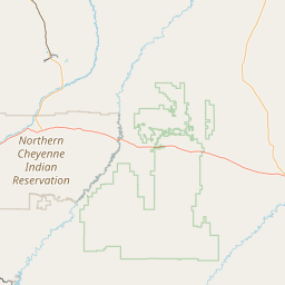
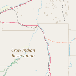
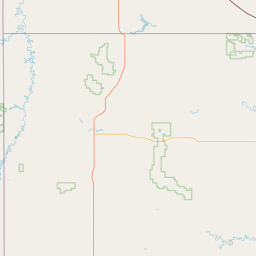
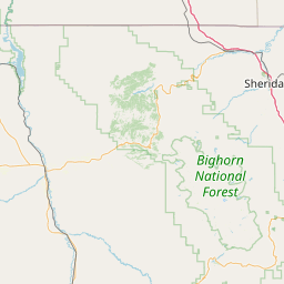
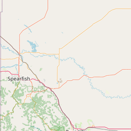
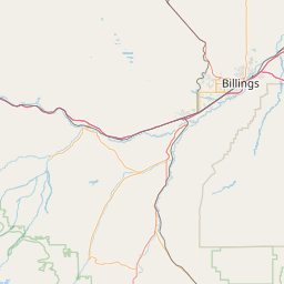
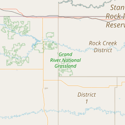
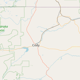
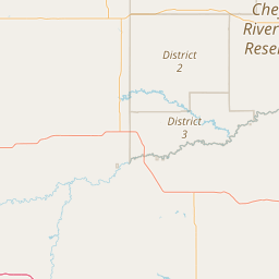
Leaflet | <a href="https://www.openstreetmap.org/copyright">© OpenStreetMap contributors</a>
Item
| Property | Value |
|---|---|
| id | 455228 |
| downstream_mainstem_id | https://geoconnex.us/ref/mainstems/400703 |
| encompassing_mainstem_basins | ['https://geoconnex.us/ref/mainstems/400703', 'https://geoconnex.us/ref/mainstems/321084', 'https://geoconnex.us/ref/mainstems/312532', 'https://geoconnex.us/ref/mainstems/312091'] |
| featuretype | ['https://www.opengis.net/def/schema/hy_features/hyf/HY_FlowPath', 'https://www.opengis.net/def/schema/hy_features/hyf/HY_WaterBody'] |
| fid | 16401 |
| head_2020huc12 | 101102010301 |
| head_nhdpv1_comid | 9792836 |
| head_nhdpv2_comid | https://geoconnex.us/nhdplusv2/comid/9792836 |
| head_nhdpv2huc12 | https://geoconnex.us/nhdplusv2/huc12/101102010401 |
| head_rf1id | 33498 |
| lengthkm | 37.3 |
| name_at_outlet | North Thompson Creek |
| name_at_outlet_gnis_id | 774863 |
| new_mainstemid | |
| outlet_2020huc12 | 101102010304 |
| outlet_drainagearea_sqkm | 174.1 |
| outlet_nhdpv1_comid | 9798616 |
| outlet_nhdpv2_comid | https://geoconnex.us/nhdplusv2/comid/9798616 |
| outlet_nhdpv2huc12 | https://geoconnex.us/nhdplusv2/huc12/101102010403 |
| outlet_rf1id | 33496 |
| superseded | False |
| uri | https://geoconnex.us/ref/mainstems/455228 |