Bridge Creek
Map
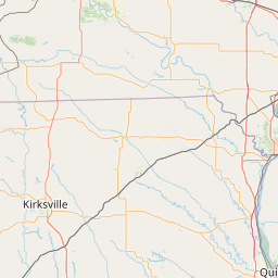
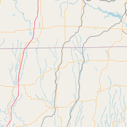
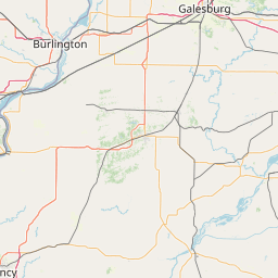
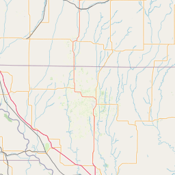
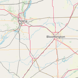
Leaflet | <a href="https://www.openstreetmap.org/copyright">© OpenStreetMap contributors</a>
Item
| Property | Value |
|---|---|
| id | 457258 |
| downstream_mainstem_id | https://geoconnex.us/ref/mainstems/355847 |
| encompassing_mainstem_basins | ['https://geoconnex.us/ref/mainstems/355847', 'https://geoconnex.us/ref/mainstems/350656', 'https://geoconnex.us/ref/mainstems/365922', 'https://geoconnex.us/ref/mainstems/312091'] |
| featuretype | ['https://www.opengis.net/def/schema/hy_features/hyf/HY_FlowPath', 'https://www.opengis.net/def/schema/hy_features/hyf/HY_WaterBody'] |
| fid | 12009 |
| head_2020huc12 | 071100020302 |
| head_nhdpv1_comid | 5018522 |
| head_nhdpv2_comid | https://geoconnex.us/nhdplusv2/comid/5018522 |
| head_nhdpv2huc12 | https://geoconnex.us/nhdplusv2/huc12/071100020302 |
| head_rf1id | 19572 |
| lengthkm | 46.7 |
| name_at_outlet | Bridge Creek |
| name_at_outlet_gnis_id | 749018 |
| new_mainstemid | |
| outlet_2020huc12 | 071100020303 |
| outlet_drainagearea_sqkm | 168.6 |
| outlet_nhdpv1_comid | 5016824 |
| outlet_nhdpv2_comid | https://geoconnex.us/nhdplusv2/comid/5016824 |
| outlet_nhdpv2huc12 | https://geoconnex.us/nhdplusv2/huc12/071100020303 |
| outlet_rf1id | 19572 |
| superseded | False |
| uri | https://geoconnex.us/ref/mainstems/457258 |