South Fork Green River
Map
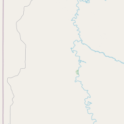
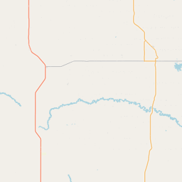
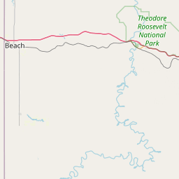
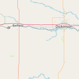
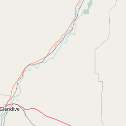
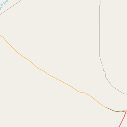
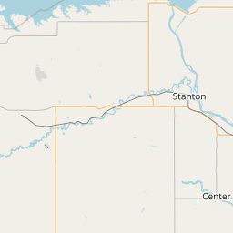
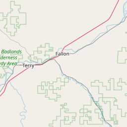
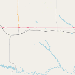
Leaflet | <a href="https://www.openstreetmap.org/copyright">© OpenStreetMap contributors</a>
Item
| Property | Value |
|---|---|
| id | 459840 |
| downstream_mainstem_id | https://geoconnex.us/ref/mainstems/381142 |
| encompassing_mainstem_basins | ['https://geoconnex.us/ref/mainstems/381142', 'https://geoconnex.us/ref/mainstems/338546', 'https://geoconnex.us/ref/mainstems/312532', 'https://geoconnex.us/ref/mainstems/312091'] |
| featuretype | ['https://www.opengis.net/def/schema/hy_features/hyf/HY_FlowPath', 'https://www.opengis.net/def/schema/hy_features/hyf/HY_WaterBody'] |
| fid | 16931 |
| head_2020huc12 | 101302020201 |
| head_nhdpv1_comid | 16233403 |
| head_nhdpv2_comid | https://geoconnex.us/nhdplusv2/comid/16233403 |
| head_nhdpv2huc12 | https://geoconnex.us/nhdplusv2/huc12/101302020202 |
| head_rf1id | 26617 |
| lengthkm | 31.2 |
| name_at_outlet | South Fork Green River |
| name_at_outlet_gnis_id | 1035163 |
| new_mainstemid | |
| outlet_2020huc12 | 101302020201 |
| outlet_drainagearea_sqkm | 107.8 |
| outlet_nhdpv1_comid | 16233317 |
| outlet_nhdpv2_comid | https://geoconnex.us/nhdplusv2/comid/16233317 |
| outlet_nhdpv2huc12 | https://geoconnex.us/nhdplusv2/huc12/101302020202 |
| outlet_rf1id | 26617 |
| superseded | False |
| uri | https://geoconnex.us/ref/mainstems/459840 |