North Sugar Creek
Map
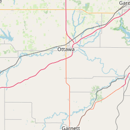
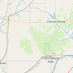
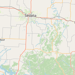
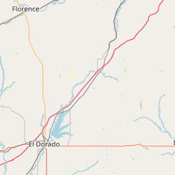
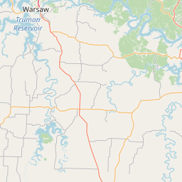
Leaflet | <a href="https://www.openstreetmap.org/copyright">© OpenStreetMap contributors</a>
Item
| Property | Value |
|---|---|
| id | 460939 |
| downstream_mainstem_id | https://geoconnex.us/ref/mainstems/389608 |
| encompassing_mainstem_basins | ['https://geoconnex.us/ref/mainstems/389608', 'https://geoconnex.us/ref/mainstems/324362', 'https://geoconnex.us/ref/mainstems/312532', 'https://geoconnex.us/ref/mainstems/312091'] |
| featuretype | ['https://www.opengis.net/def/schema/hy_features/hyf/HY_FlowPath', 'https://www.opengis.net/def/schema/hy_features/hyf/HY_WaterBody'] |
| fid | 19380 |
| head_2020huc12 | 102901020304 |
| head_nhdpv1_comid | None |
| head_nhdpv2_comid | https://geoconnex.us/nhdplusv2/comid/10124702 |
| head_nhdpv2huc12 | https://geoconnex.us/nhdplusv2/huc12/102901020304 |
| head_rf1id | None |
| lengthkm | 26.7 |
| name_at_outlet | North Sugar Creek |
| name_at_outlet_gnis_id | 477674 |
| new_mainstemid | |
| outlet_2020huc12 | 102901020304 |
| outlet_drainagearea_sqkm | 119.2 |
| outlet_nhdpv1_comid | None |
| outlet_nhdpv2_comid | https://geoconnex.us/nhdplusv2/comid/2997896 |
| outlet_nhdpv2huc12 | https://geoconnex.us/nhdplusv2/huc12/102901020304 |
| outlet_rf1id | None |
| superseded | False |
| uri | https://geoconnex.us/ref/mainstems/460939 |