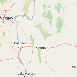
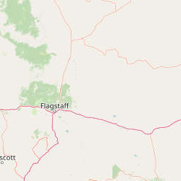
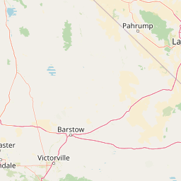
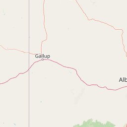
Ash Creek
Map
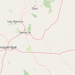
Leaflet | <a href="https://www.openstreetmap.org/copyright">© OpenStreetMap contributors</a>
Item
| Property | Value |
|---|---|
| id | 46155 |
| downstream_mainstem_id | https://geoconnex.us/ref/mainstems/36845 |
| encompassing_mainstem_basins | ['https://geoconnex.us/ref/mainstems/36845', 'https://geoconnex.us/ref/mainstems/31261', 'https://geoconnex.us/ref/mainstems/29559'] |
| featuretype | ['https://www.opengis.net/def/schema/hy_features/hyf/HY_FlowPath', 'https://www.opengis.net/def/schema/hy_features/hyf/HY_WaterBody'] |
| fid | 27411 |
| head_2020huc12 | 150701020102 |
| head_nhdpv1_comid | 20410598 |
| head_nhdpv2_comid | https://geoconnex.us/nhdplusv2/comid/20410598 |
| head_nhdpv2huc12 | https://geoconnex.us/nhdplusv2/huc12/150701020102 |
| head_rf1id | 44288 |
| lengthkm | 55.2 |
| name_at_outlet | Ash Creek |
| name_at_outlet_gnis_id | 25788 |
| new_mainstemid | |
| outlet_2020huc12 | 150701020106 |
| outlet_drainagearea_sqkm | 505.0 |
| outlet_nhdpv1_comid | 20412478 |
| outlet_nhdpv2_comid | https://geoconnex.us/nhdplusv2/comid/20412478 |
| outlet_nhdpv2huc12 | https://geoconnex.us/nhdplusv2/huc12/150701020106 |
| outlet_rf1id | 44286 |
| superseded | False |
| uri | https://geoconnex.us/ref/mainstems/46155 |