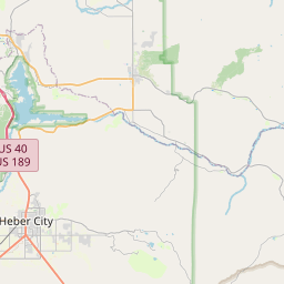
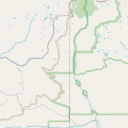
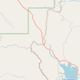
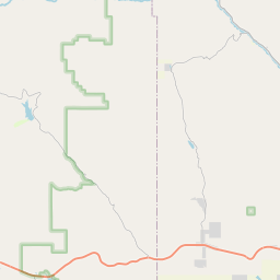
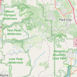
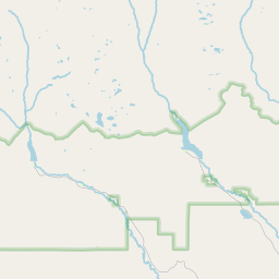
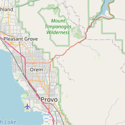
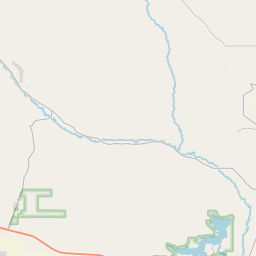
West Fork Duchesne River
Map
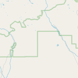
Leaflet | <a href="https://www.openstreetmap.org/copyright">© OpenStreetMap contributors</a>
Item
| Property | Value |
|---|---|
| id | 47500 |
| downstream_mainstem_id | https://geoconnex.us/ref/mainstems/33296 |
| encompassing_mainstem_basins | ['https://geoconnex.us/ref/mainstems/33296', 'https://geoconnex.us/ref/mainstems/30914', 'https://geoconnex.us/ref/mainstems/29559'] |
| featuretype | ['https://www.opengis.net/def/schema/hy_features/hyf/HY_FlowPath', 'https://www.opengis.net/def/schema/hy_features/hyf/HY_WaterBody'] |
| fid | 26119 |
| head_2020huc12 | 140600030101 |
| head_nhdpv1_comid | 11978617 |
| head_nhdpv2_comid | https://geoconnex.us/nhdplusv2/comid/11978617 |
| head_nhdpv2huc12 | https://geoconnex.us/nhdplusv2/huc12/140600030101 |
| head_rf1id | 42409 |
| lengthkm | 33.1 |
| name_at_outlet | West Fork Duchesne River |
| name_at_outlet_gnis_id | 1447139 |
| new_mainstemid | |
| outlet_2020huc12 | 140600030103 |
| outlet_drainagearea_sqkm | 231.9 |
| outlet_nhdpv1_comid | 11979705 |
| outlet_nhdpv2_comid | https://geoconnex.us/nhdplusv2/comid/11979705 |
| outlet_nhdpv2huc12 | https://geoconnex.us/nhdplusv2/huc12/140600030103 |
| outlet_rf1id | 42409 |
| superseded | False |
| uri | https://geoconnex.us/ref/mainstems/47500 |