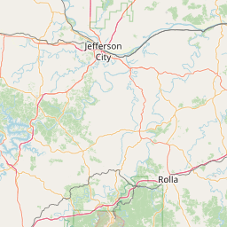
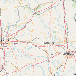
Deer Creek
Map
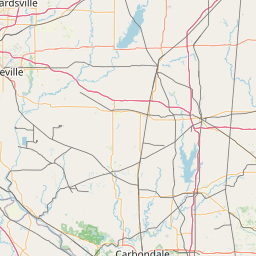
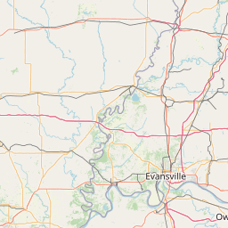
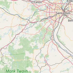
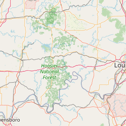
Leaflet | <a href="https://www.openstreetmap.org/copyright">© OpenStreetMap contributors</a>
Item
| Property | Value |
|---|---|
| id | 475068 |
| downstream_mainstem_id | |
| encompassing_mainstem_basins | |
| featuretype | ['https://www.opengis.net/def/schema/hy_features/hyf/HY_FlowPath', 'https://www.opengis.net/def/schema/hy_features/hyf/HY_WaterBody'] |
| fid | 33941 |
| head_2020huc12 | |
| head_nhdpv1_comid | 10435142 |
| head_nhdpv2_comid | https://geoconnex.us/nhdplusv2/comid/10435142 |
| head_nhdpv2huc12 | https://geoconnex.us/nhdplusv2/huc12/051201140707 |
| head_rf1id | None |
| lengthkm | 26.8 |
| name_at_outlet | Deer Creek |
| name_at_outlet_gnis_id | 407062 |
| new_mainstemid | ['https://geoconnex.us/ref/mainstems/1544302'] |
| outlet_2020huc12 | |
| outlet_drainagearea_sqkm | 159.2 |
| outlet_nhdpv1_comid | 10436176 |
| outlet_nhdpv2_comid | https://geoconnex.us/nhdplusv2/comid/10436176 |
| outlet_nhdpv2huc12 | https://geoconnex.us/nhdplusv2/huc12/051201140707 |
| outlet_rf1id | None |
| superseded | True |
| uri | https://geoconnex.us/ref/mainstems/475068 |