East Cedar Creek
Map
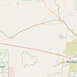
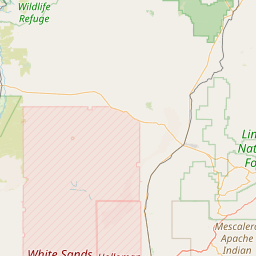
Leaflet | <a href="https://www.openstreetmap.org/copyright">© OpenStreetMap contributors</a>
Item
| Property | Value |
|---|---|
| id | 48090 |
| downstream_mainstem_id | https://geoconnex.us/ref/mainstems/43258 |
| encompassing_mainstem_basins | ['https://geoconnex.us/ref/mainstems/43258', 'https://geoconnex.us/ref/mainstems/38212', 'https://geoconnex.us/ref/mainstems/32464', 'https://geoconnex.us/ref/mainstems/31261', 'https://geoconnex.us/ref/mainstems/29559'] |
| featuretype | ['https://www.opengis.net/def/schema/hy_features/hyf/HY_FlowPath', 'https://www.opengis.net/def/schema/hy_features/hyf/HY_WaterBody'] |
| fid | 27304 |
| head_2020huc12 | 150601040203 |
| head_nhdpv1_comid | 21734192 |
| head_nhdpv2_comid | https://geoconnex.us/nhdplusv2/comid/21734192 |
| head_nhdpv2huc12 | https://geoconnex.us/nhdplusv2/huc12/150601040203 |
| head_rf1id | 44117 |
| lengthkm | 38.3 |
| name_at_outlet | East Cedar Creek |
| name_at_outlet_gnis_id | 28740 |
| new_mainstemid | |
| outlet_2020huc12 | 150601040203 |
| outlet_drainagearea_sqkm | 155.0 |
| outlet_nhdpv1_comid | 21735406 |
| outlet_nhdpv2_comid | https://geoconnex.us/nhdplusv2/comid/21735406 |
| outlet_nhdpv2huc12 | https://geoconnex.us/nhdplusv2/huc12/150601040203 |
| outlet_rf1id | 44117 |
| superseded | False |
| uri | https://geoconnex.us/ref/mainstems/48090 |