Dry Creek
Map
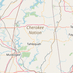
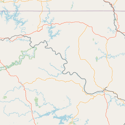
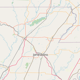
Leaflet | <a href="https://www.openstreetmap.org/copyright">© OpenStreetMap contributors</a>
Item
| Property | Value |
|---|---|
| id | 490363 |
| downstream_mainstem_id | https://geoconnex.us/ref/mainstems/371565 |
| encompassing_mainstem_basins | ['https://geoconnex.us/ref/mainstems/371565', 'https://geoconnex.us/ref/mainstems/325226', 'https://geoconnex.us/ref/mainstems/314446', 'https://geoconnex.us/ref/mainstems/312091'] |
| featuretype | ['https://www.opengis.net/def/schema/hy_features/hyf/HY_FlowPath', 'https://www.opengis.net/def/schema/hy_features/hyf/HY_WaterBody'] |
| fid | 21001 |
| head_2020huc12 | |
| head_nhdpv1_comid | 21772023 |
| head_nhdpv2_comid | https://geoconnex.us/nhdplusv2/comid/21772023 |
| head_nhdpv2huc12 | |
| head_rf1id | 36957 |
| lengthkm | 15.1 |
| name_at_outlet | Dry Creek |
| name_at_outlet_gnis_id | 1092238 |
| new_mainstemid | |
| outlet_2020huc12 | |
| outlet_drainagearea_sqkm | 74.0 |
| outlet_nhdpv1_comid | 21772105 |
| outlet_nhdpv2_comid | https://geoconnex.us/nhdplusv2/comid/21772105 |
| outlet_nhdpv2huc12 | |
| outlet_rf1id | 36967 |
| superseded | False |
| uri | https://geoconnex.us/ref/mainstems/490363 |