Hensley Creek
Map
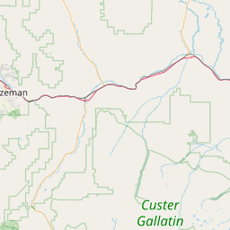
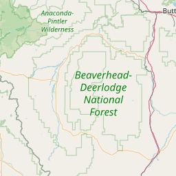
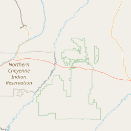
Leaflet | <a href="https://www.openstreetmap.org/copyright">© OpenStreetMap contributors</a>
Item
| Property | Value |
|---|---|
| id | 492663 |
| downstream_mainstem_id | https://geoconnex.us/ref/mainstems/315571 |
| encompassing_mainstem_basins | ['https://geoconnex.us/ref/mainstems/315571', 'https://geoconnex.us/ref/mainstems/312532', 'https://geoconnex.us/ref/mainstems/312091'] |
| featuretype | ['https://www.opengis.net/def/schema/hy_features/hyf/HY_FlowPath', 'https://www.opengis.net/def/schema/hy_features/hyf/HY_WaterBody'] |
| fid | 15513 |
| head_2020huc12 | 100700040402 |
| head_nhdpv1_comid | 4340104 |
| head_nhdpv2_comid | https://geoconnex.us/nhdplusv2/comid/4340104 |
| head_nhdpv2huc12 | https://geoconnex.us/nhdplusv2/huc12/100700040402 |
| head_rf1id | 31585 |
| lengthkm | 22.0 |
| name_at_outlet | Hensley Creek |
| name_at_outlet_gnis_id | 772347 |
| new_mainstemid | |
| outlet_2020huc12 | 100700040402 |
| outlet_drainagearea_sqkm | 84.5 |
| outlet_nhdpv1_comid | 4340888 |
| outlet_nhdpv2_comid | https://geoconnex.us/nhdplusv2/comid/4340888 |
| outlet_nhdpv2huc12 | https://geoconnex.us/nhdplusv2/huc12/100700040402 |
| outlet_rf1id | 31585 |
| superseded | False |
| uri | https://geoconnex.us/ref/mainstems/492663 |