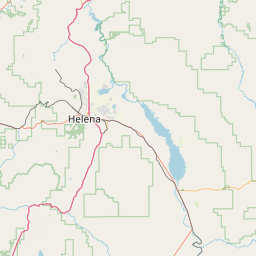
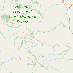
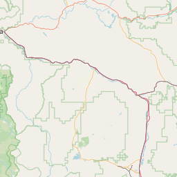
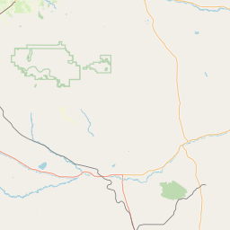
Toston Canal
Map
Leaflet | <a href="https://www.openstreetmap.org/copyright">© OpenStreetMap contributors</a>
Item
| Property | Value |
|---|---|
| id | 501814 |
| downstream_mainstem_id | https://geoconnex.us/ref/mainstems/312532 |
| encompassing_mainstem_basins | ['https://geoconnex.us/ref/mainstems/312532', 'https://geoconnex.us/ref/mainstems/312091'] |
| featuretype | ['https://www.opengis.net/def/schema/hy_features/hyf/HY_FlowPath', 'https://www.opengis.net/def/schema/hy_features/hyf/HY_WaterBody'] |
| fid | 14702 |
| head_2020huc12 | 100301010504 |
| head_nhdpv1_comid | 3029496 |
| head_nhdpv2_comid | https://geoconnex.us/nhdplusv2/comid/3029496 |
| head_nhdpv2huc12 | https://geoconnex.us/nhdplusv2/huc12/100301010401 |
| head_rf1id | 29200 |
| lengthkm | 26.7 |
| name_at_outlet | Toston Canal |
| name_at_outlet_gnis_id | 777715 |
| new_mainstemid | |
| outlet_2020huc12 | 100301010504 |
| outlet_drainagearea_sqkm | 68.9 |
| outlet_nhdpv1_comid | 3030028 |
| outlet_nhdpv2_comid | https://geoconnex.us/nhdplusv2/comid/3030028 |
| outlet_nhdpv2huc12 | https://geoconnex.us/nhdplusv2/huc12/100301010505 |
| outlet_rf1id | 29200 |
| superseded | False |
| uri | https://geoconnex.us/ref/mainstems/501814 |