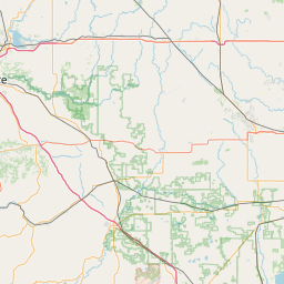
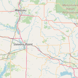
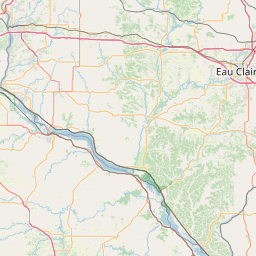
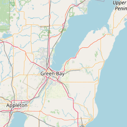
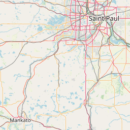
Hay Creek
Map
Leaflet | <a href="https://www.openstreetmap.org/copyright">© OpenStreetMap contributors</a>
Item
| Property | Value |
|---|---|
| id | 527712 |
| downstream_mainstem_id | https://geoconnex.us/ref/mainstems/384144 |
| encompassing_mainstem_basins | ['https://geoconnex.us/ref/mainstems/384144', 'https://geoconnex.us/ref/mainstems/330354', 'https://geoconnex.us/ref/mainstems/312091'] |
| featuretype | ['https://www.opengis.net/def/schema/hy_features/hyf/HY_FlowPath', 'https://www.opengis.net/def/schema/hy_features/hyf/HY_WaterBody'] |
| fid | 10934 |
| head_2020huc12 | 070400070604 |
| head_nhdpv1_comid | 13135973 |
| head_nhdpv2_comid | https://geoconnex.us/nhdplusv2/comid/13135973 |
| head_nhdpv2huc12 | https://geoconnex.us/nhdplusv2/huc12/070400070604 |
| head_rf1id | None |
| lengthkm | 19.9 |
| name_at_outlet | Hay Creek |
| name_at_outlet_gnis_id | 1566176 |
| new_mainstemid | |
| outlet_2020huc12 | 070400070604 |
| outlet_drainagearea_sqkm | 80.8 |
| outlet_nhdpv1_comid | 13136337 |
| outlet_nhdpv2_comid | https://geoconnex.us/nhdplusv2/comid/13136337 |
| outlet_nhdpv2huc12 | https://geoconnex.us/nhdplusv2/huc12/070400070604 |
| outlet_rf1id | None |
| superseded | False |
| uri | https://geoconnex.us/ref/mainstems/527712 |