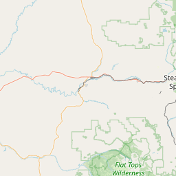
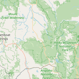
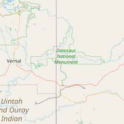
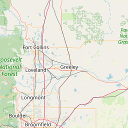
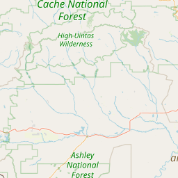
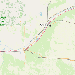
King Solomon Creek
Map
Leaflet | <a href="https://www.openstreetmap.org/copyright">© OpenStreetMap contributors</a>
Item
| Property | Value |
|---|---|
| id | 60065 |
| downstream_mainstem_id | https://geoconnex.us/ref/mainstems/34656 |
| encompassing_mainstem_basins | ['https://geoconnex.us/ref/mainstems/34656', 'https://geoconnex.us/ref/mainstems/32623', 'https://geoconnex.us/ref/mainstems/30914', 'https://geoconnex.us/ref/mainstems/29559'] |
| featuretype | ['https://www.opengis.net/def/schema/hy_features/hyf/HY_FlowPath', 'https://www.opengis.net/def/schema/hy_features/hyf/HY_WaterBody'] |
| fid | 26018 |
| head_2020huc12 | 140500030101 |
| head_nhdpv1_comid | 18280091 |
| head_nhdpv2_comid | https://geoconnex.us/nhdplusv2/comid/18280091 |
| head_nhdpv2huc12 | https://geoconnex.us/nhdplusv2/huc12/140500030102 |
| head_rf1id | 42148 |
| lengthkm | 23.7 |
| name_at_outlet | King Solomon Creek |
| name_at_outlet_gnis_id | 169883 |
| new_mainstemid | |
| outlet_2020huc12 | 140500030101 |
| outlet_drainagearea_sqkm | 126.7 |
| outlet_nhdpv1_comid | 18279819 |
| outlet_nhdpv2_comid | https://geoconnex.us/nhdplusv2/comid/18279819 |
| outlet_nhdpv2huc12 | https://geoconnex.us/nhdplusv2/huc12/140500030102 |
| outlet_rf1id | 42148 |
| superseded | False |
| uri | https://geoconnex.us/ref/mainstems/60065 |