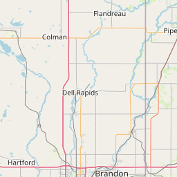
South Fork Elm Creek
Map
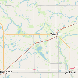
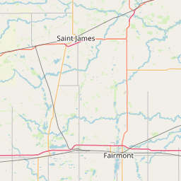
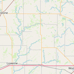
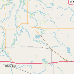
Leaflet | <a href="https://www.openstreetmap.org/copyright">© OpenStreetMap contributors</a>
Item
| Property | Value |
|---|---|
| id | 630255 |
| downstream_mainstem_id | https://geoconnex.us/ref/mainstems/417965 |
| encompassing_mainstem_basins | ['https://geoconnex.us/ref/mainstems/417965', 'https://geoconnex.us/ref/mainstems/365119', 'https://geoconnex.us/ref/mainstems/326740', 'https://geoconnex.us/ref/mainstems/312091'] |
| featuretype | ['https://www.opengis.net/def/schema/hy_features/hyf/HY_FlowPath', 'https://www.opengis.net/def/schema/hy_features/hyf/HY_WaterBody'] |
| fid | 10681 |
| head_2020huc12 | 070200090902 |
| head_nhdpv1_comid | 2748730 |
| head_nhdpv2_comid | https://geoconnex.us/nhdplusv2/comid/2748730 |
| head_nhdpv2huc12 | https://geoconnex.us/nhdplusv2/huc12/070200090902 |
| head_rf1id | 17787 |
| lengthkm | 18.7 |
| name_at_outlet | South Fork Elm Creek |
| name_at_outlet_gnis_id | 652294 |
| new_mainstemid | |
| outlet_2020huc12 | 070200090902 |
| outlet_drainagearea_sqkm | 76.0 |
| outlet_nhdpv1_comid | 2748996 |
| outlet_nhdpv2_comid | https://geoconnex.us/nhdplusv2/comid/2748996 |
| outlet_nhdpv2huc12 | https://geoconnex.us/nhdplusv2/huc12/070200090902 |
| outlet_rf1id | 17787 |
| superseded | False |
| uri | https://geoconnex.us/ref/mainstems/630255 |