Quail Creek
Map
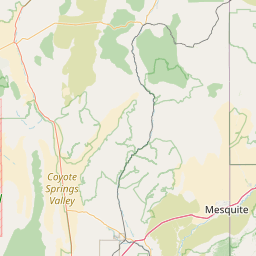
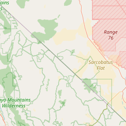
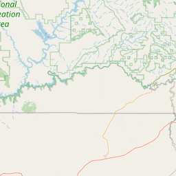
Leaflet | <a href="https://www.openstreetmap.org/copyright">© OpenStreetMap contributors</a>
Item
| Property | Value |
|---|---|
| id | 63125 |
| downstream_mainstem_id | https://geoconnex.us/ref/mainstems/34152 |
| encompassing_mainstem_basins | ['https://geoconnex.us/ref/mainstems/34152', 'https://geoconnex.us/ref/mainstems/32411', 'https://geoconnex.us/ref/mainstems/29559'] |
| featuretype | ['https://www.opengis.net/def/schema/hy_features/hyf/HY_FlowPath', 'https://www.opengis.net/def/schema/hy_features/hyf/HY_WaterBody'] |
| fid | 26644 |
| head_2020huc12 | 150100080906 |
| head_nhdpv1_comid | 10025060 |
| head_nhdpv2_comid | https://geoconnex.us/nhdplusv2/comid/10025060 |
| head_nhdpv2huc12 | https://geoconnex.us/nhdplusv2/huc12/150100080906 |
| head_rf1id | 43369 |
| lengthkm | 11.7 |
| name_at_outlet | Quail Creek |
| name_at_outlet_gnis_id | 1448885 |
| new_mainstemid | |
| outlet_2020huc12 | 150100080906 |
| outlet_drainagearea_sqkm | 210.2 |
| outlet_nhdpv1_comid | 10024052 |
| outlet_nhdpv2_comid | https://geoconnex.us/nhdplusv2/comid/10024052 |
| outlet_nhdpv2huc12 | https://geoconnex.us/nhdplusv2/huc12/150100080906 |
| outlet_rf1id | 43369 |
| superseded | False |
| uri | https://geoconnex.us/ref/mainstems/63125 |